
Image: Mapa de San Miguel y San Felipe de los Chichimecas (1580) - Chichimecas 1
Size of this preview: 545 × 600 pixels. Other resolutions: 218 × 240 pixels | 2,786 × 3,066 pixels.
Original image (2,786 × 3,066 pixels, file size: 8.51 MB, MIME type: image/jpeg)
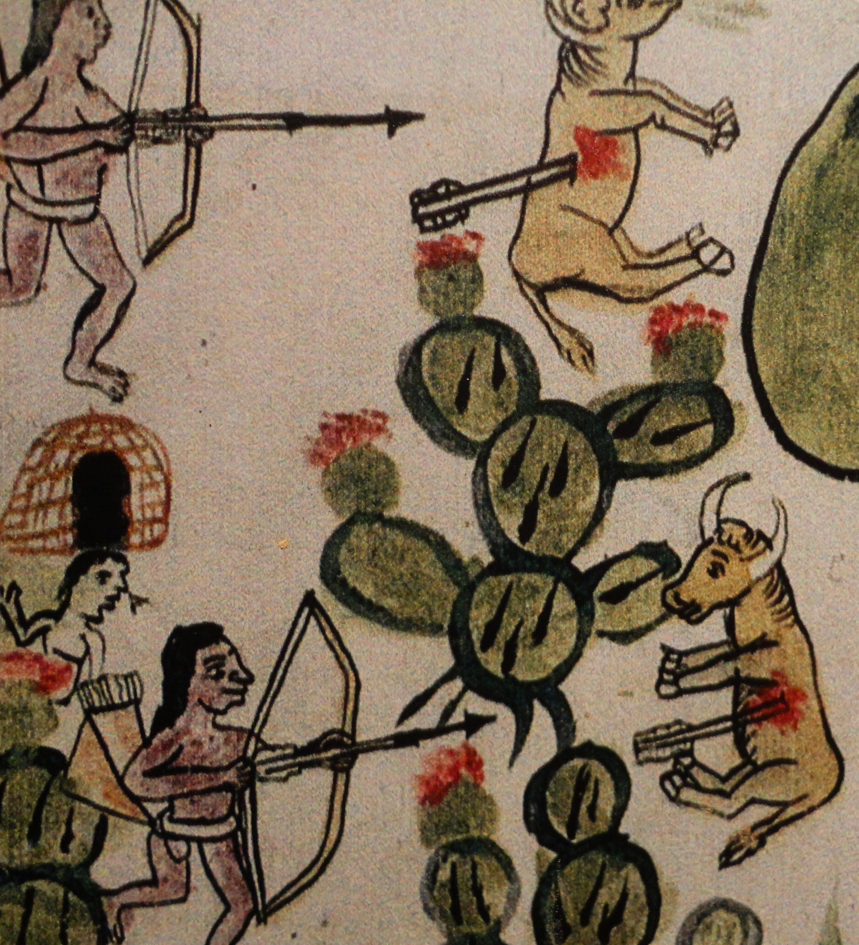
Description: Detalle de Mapa de San Miguel y San Felipe de los Chichimecas (1580). Biblioteca de la Real Academia de Historia, Madrid, España.
Title: Mapa de San Miguel y San Felipe de los Chichimecas (1580) - Chichimecas 1
Credit: Own work
Author: Juan Carlos Fonseca Mata
Usage Terms: Creative Commons Attribution-Share Alike 4.0
License: CC BY-SA 4.0
License Link: https://creativecommons.org/licenses/by-sa/4.0
Attribution Required?: Yes
Image usage
The following page links to this image:

All content from Kiddle encyclopedia articles (including the article images and facts) can be freely used under Attribution-ShareAlike license, unless stated otherwise.
_-_Chichimecas_1.jpg)