
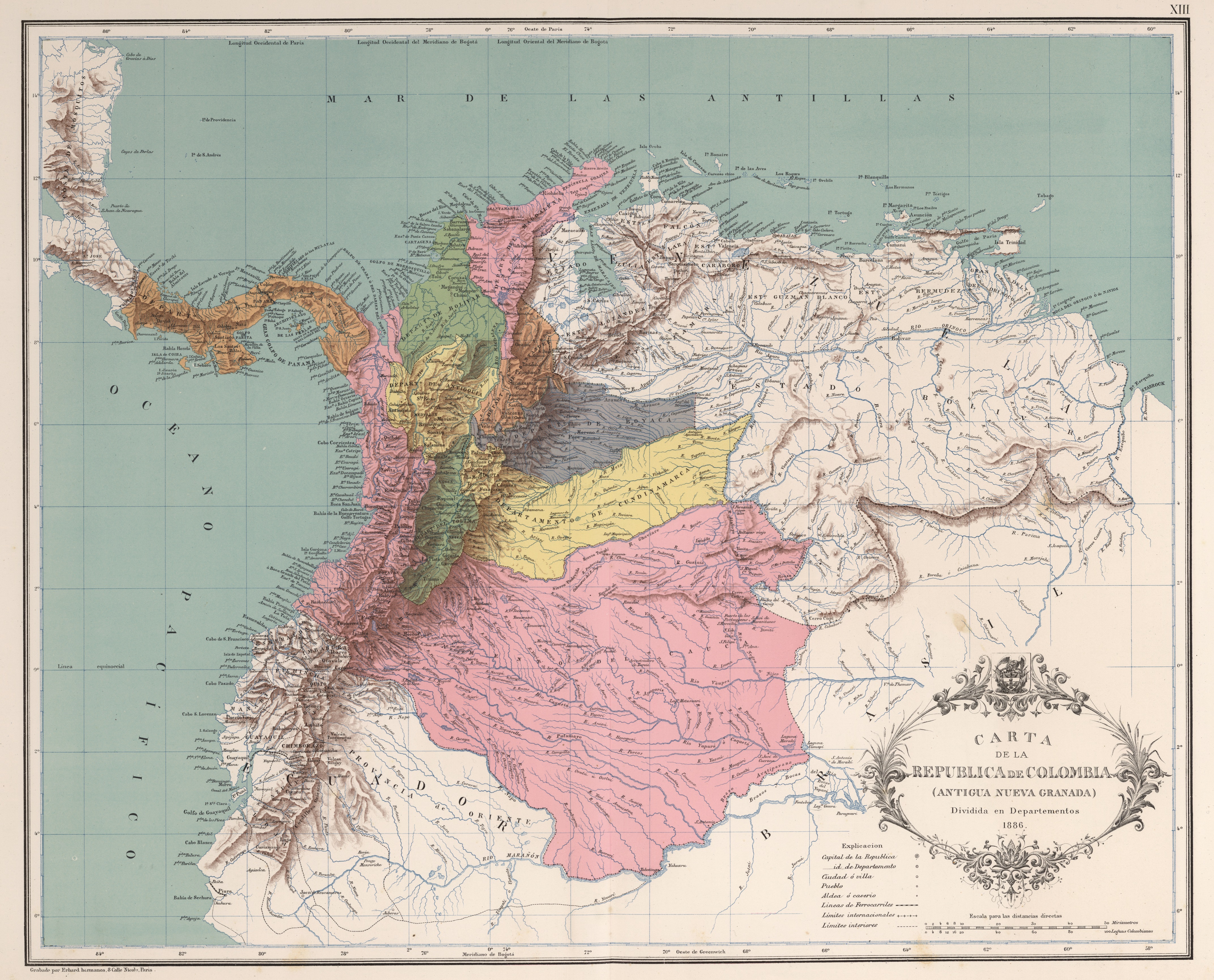
Image: Mapa de Colombia (1890)
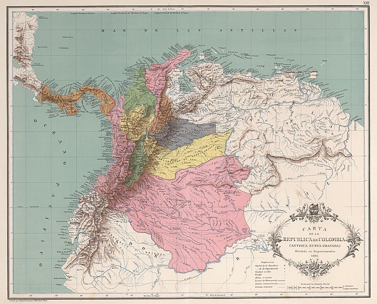
Size of this preview: 742 × 599 pixels. Other resolutions: 297 × 240 pixels | 4,287 × 3,462 pixels.
Original image (4,287 × 3,462 pixels, file size: 6.12 MB, MIME type: image/jpeg)
Description: Carta de la República de Colombia dividida por departamentos en 1886. Levantado por Agustín Codazzi, dibujado por Manuel María Paz e impreso por Erhard Hermanos, París, 1890. Carta XIII del Atlas geográfico e histórico de la República de Colombia, 1890.
Title: AGHRC (1890) - Carta XIII - División política de Colombia, 1886
Credit: Atlas geográfico e histórico de la República de Colombia, 1890. Carta de la República de Colombia.
Author: Agostino Codazzi
Usage Terms: Public domain
License: Public domain
Attribution Required?: No
Image usage
The following image is a duplicate of this image (more details):
_-_Carta_XIII_-_Divisi%C3%B3n_pol%C3%ADtica_de_Colombia,_1886.jpg)
The following page links to this image:

All content from Kiddle encyclopedia articles (including the article images and facts) can be freely used under Attribution-ShareAlike license, unless stated otherwise.
.jpg)