
Image: Map valseca1449

Size of this preview: 700 × 600 pixels. Other resolutions: 280 × 240 pixels | 1,269 × 1,087 pixels.
Original image (1,269 × 1,087 pixels, file size: 825 KB, MIME type: image/jpeg)
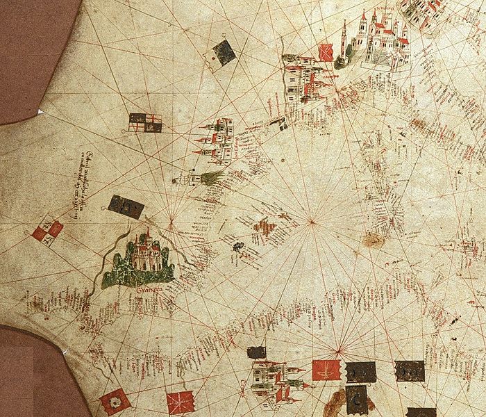
Description: Western portion of portolan chart of the Mediterranean, signed by Majorcan cartographer Gabriel de Vallseca and dated 1449. Currently held (CN 22) by the Archivio di Stato di Firenze in Florence, Italy.
Title: Map valseca1449
Credit: Western portion of portolan chart of Gabriel de Vallesca (1449).jpg
Author: Gabriel de Vallseca
Usage Terms: Public domain
License: Public domain
Attribution Required?: No
Image usage
The following page links to this image:

All content from Kiddle encyclopedia articles (including the article images and facts) can be freely used under Attribution-ShareAlike license, unless stated otherwise.