
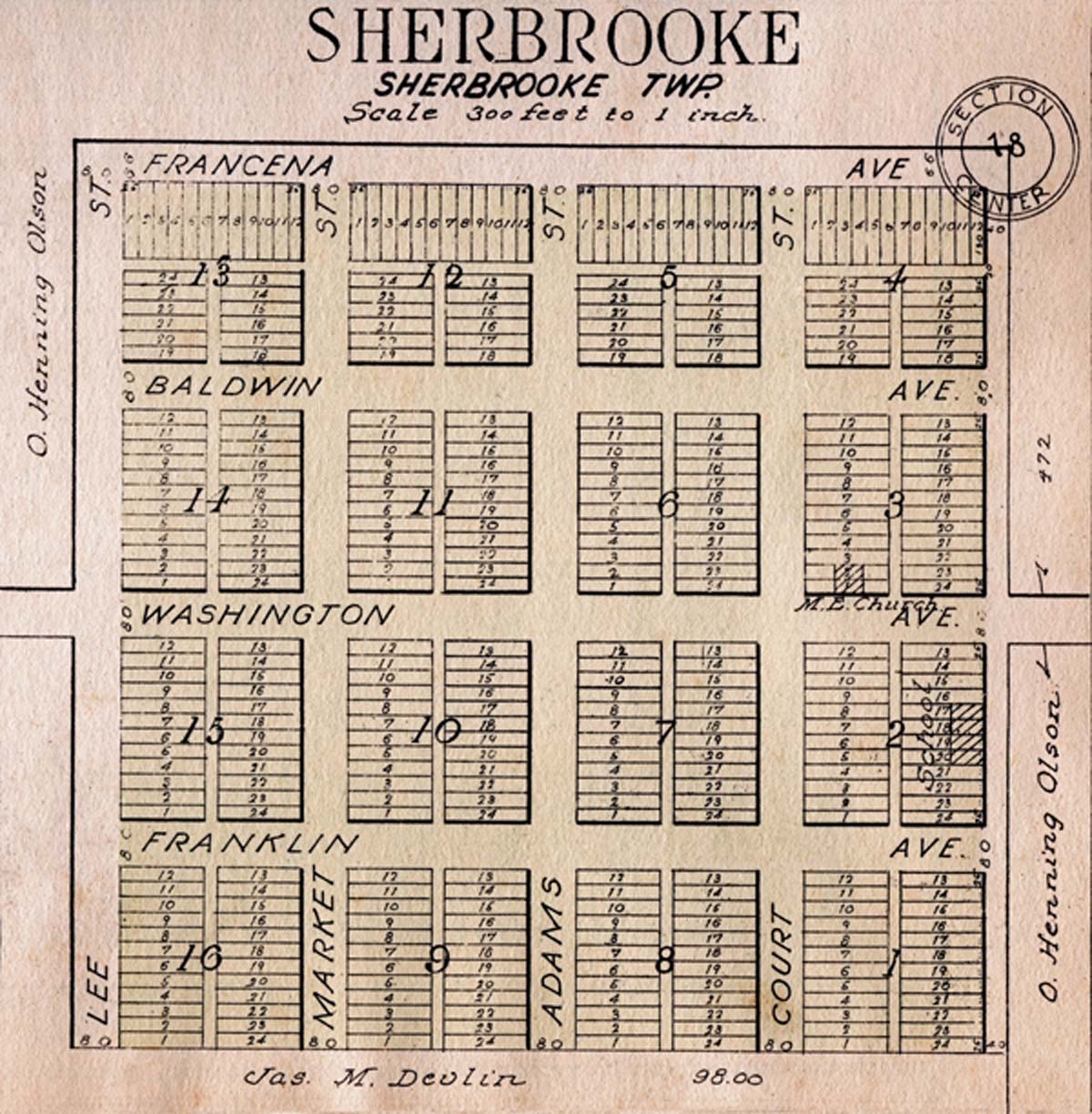
Image: Map showing the plat of Sherbrooke, Steele County, North Dakota
Size of this preview: 588 × 600 pixels. Other resolutions: 235 × 240 pixels | 1,200 × 1,224 pixels.
Original image (1,200 × 1,224 pixels, file size: 305 KB, MIME type: image/jpeg)
Description: Scanned image of a map detailing the plat of Sherbrooke Village, Steele County, North Dakota dated 1928.
Title: Map showing the plat of Sherbrooke, Steele County, North Dakota
Credit: Standard Atlas of Steele County North Dakota Including a Plat Book of the Villages, Cities, and Townships of the County.
Author: Brock and Company, Chicago
Usage Terms: Public domain
License: Public domain
Attribution Required?: No
Image usage
The following page links to this image:

All content from Kiddle encyclopedia articles (including the article images and facts) can be freely used under Attribution-ShareAlike license, unless stated otherwise.