
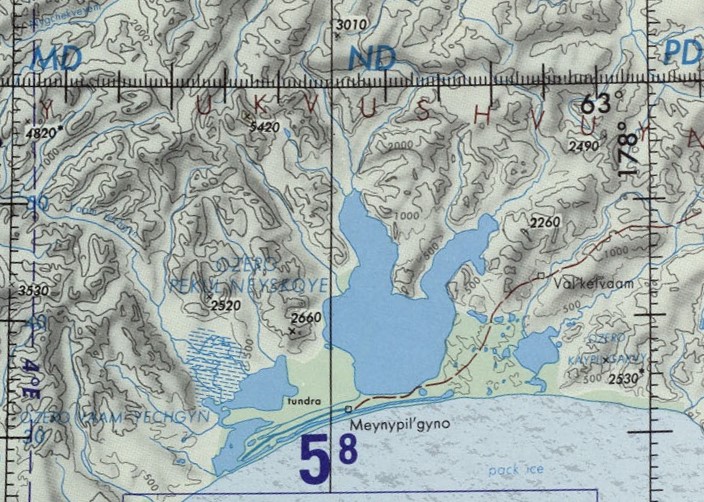
Image: Map section of Lake Pekulney, Chukotka Autonomous Okrug, Russia
No higher resolution available.
Map_section_of_Lake_Pekulney,_Chukotka_Autonomous_Okrug,_Russia.jpg (704 × 502 pixels, file size: 194 KB, MIME type: image/jpeg)
Description: Operational Navigation chart section of Lake Pekulney, Chukotka Autonomous Okrug, Russia
Title: Map section of Lake Pekulney, Chukotka Autonomous Okrug, Russia
Credit: File:Operational_Navigation_chart_D-9,_5th_edition.jpg
Author: Defense Mapping Agency Aerospace Center, St. Louis Air Force Station, Mo.
Usage Terms: Public domain
License: Public domain
Attribution Required?: No
Image usage
The following page links to this image:

All content from Kiddle encyclopedia articles (including the article images and facts) can be freely used under Attribution-ShareAlike license, unless stated otherwise.