
Image: Map pugetsound with border
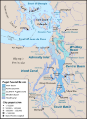
Size of this preview: 439 × 599 pixels. Other resolutions: 176 × 240 pixels | 2,921 × 3,986 pixels.
Original image (2,921 × 3,986 pixels, file size: 1.53 MB, MIME type: image/png)
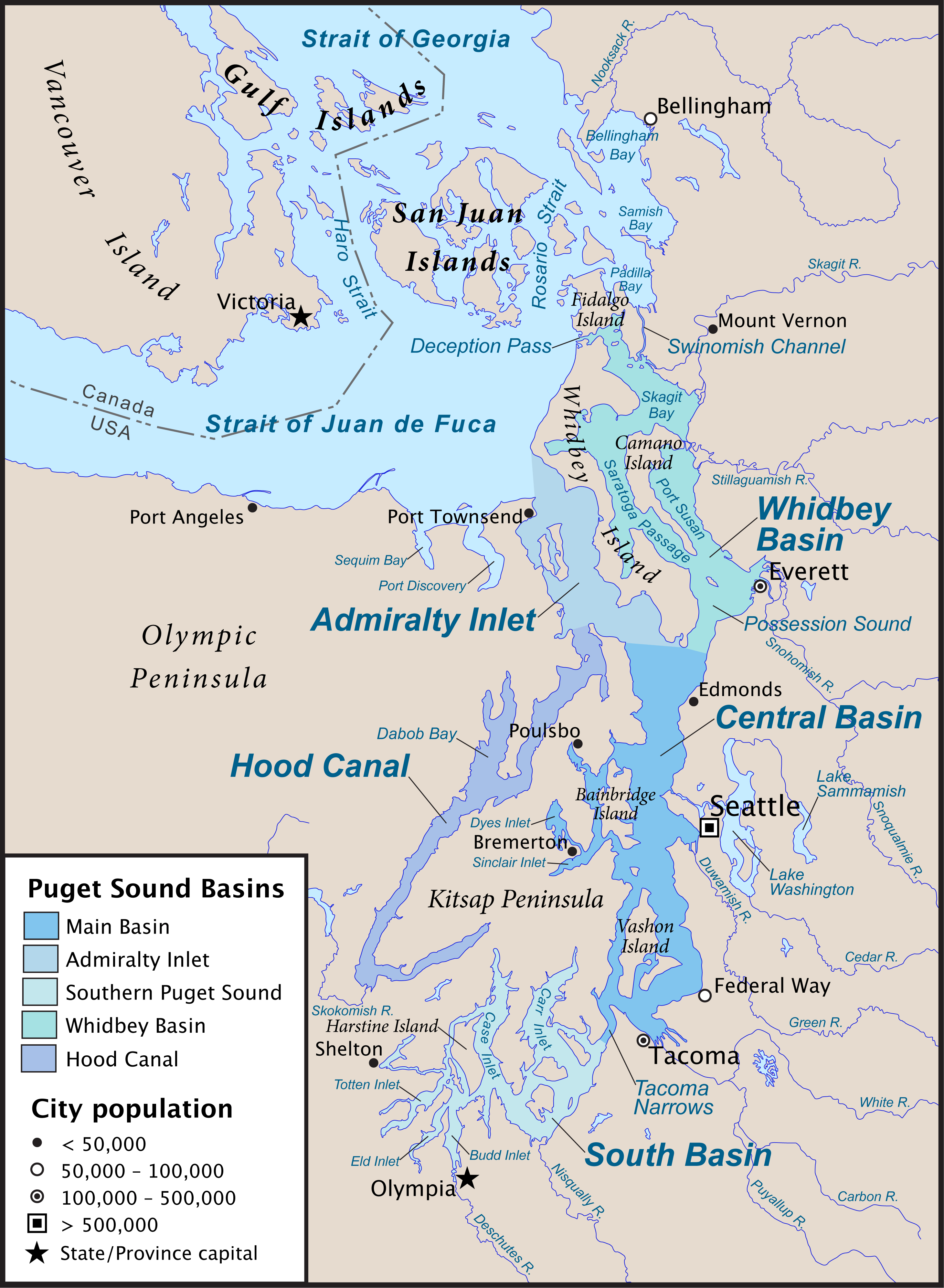
Description: Map of Puget Sound and its main basins, along with the Canada-US border. Created with ArcExplorer and Adobe Illustrator. Based on GeoBase and The National Map data. There is a SVG version (currently messed up) here, File:Map-pugetsound-vector.svg.
Title: Map pugetsound with border
Credit: Own work
Author: Pfly
Usage Terms: Creative Commons Attribution-Share Alike 3.0
License: CC BY-SA 3.0
License Link: https://creativecommons.org/licenses/by-sa/3.0
Attribution Required?: Yes
Image usage
The following image is a duplicate of this image (more details):
There are no pages that link to this image.

All content from Kiddle encyclopedia articles (including the article images and facts) can be freely used under Attribution-ShareAlike license, unless stated otherwise.