
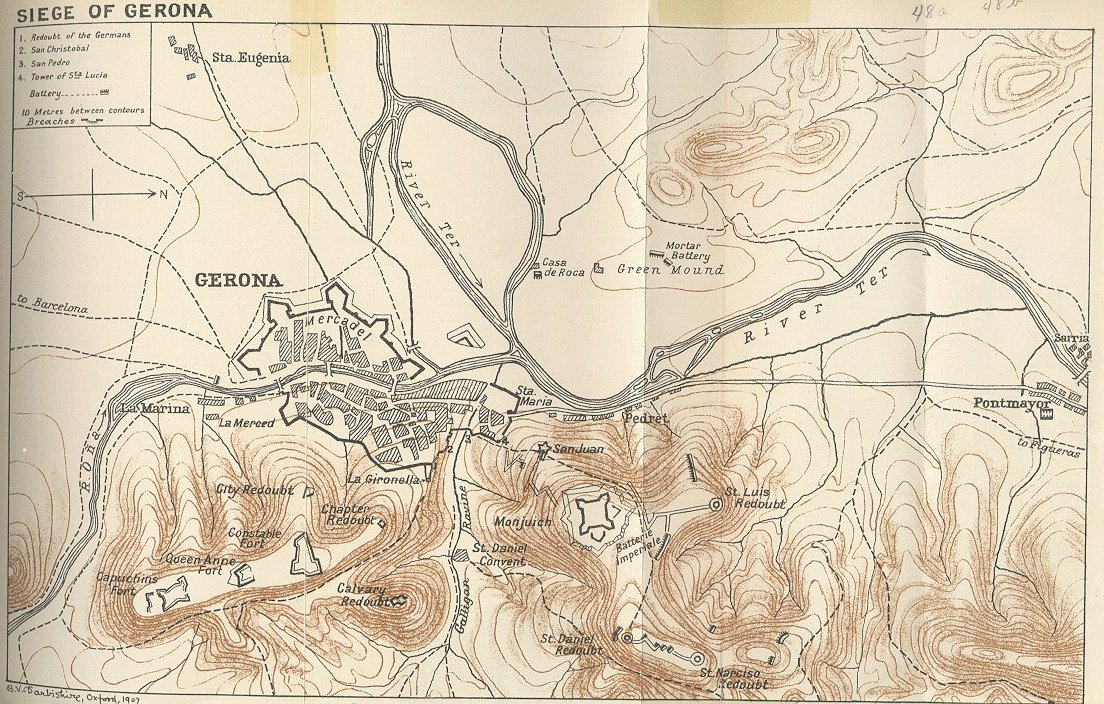
Image: Map of the Third Siege of Gerona 1809
Description: Map of the Third Siege of Gerona 1809 indicating city defenses and French deployments around the city. From A History of the Peninsular War, Volume III by Charles Oman. Signed B.V. Darbishire 1907.
Title: Map of the Third Siege of Gerona 1809
Credit: https://www.gutenberg.org/files/55231/55231-h/55231-h.htm#Chap17_3 or https://www.napoleon-series.org/images/military/maps/peninsula/gerona.jpg or http://www.pedresdegirona.com/historia_guerra_frances_1.htm or http://napoleon-monuments.eu/Napoleon1er/Gerone.htm
Author: From Charles Oman, A History of the Peninsular War, Volume III. Oxford at the Clarendon Press 1908. Signed B.V. Darbishire, Oxford 1907 at lower left.
Usage Terms: Public domain
License: Public domain
Attribution Required?: No
Image usage
The following page links to this image:
