
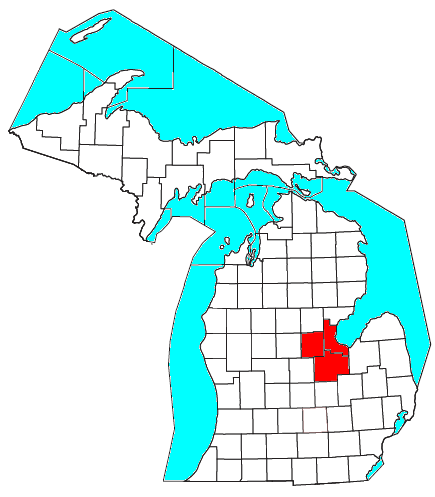
Image: Map of the Saginaw, Midland, and Bay City Metro Area
No higher resolution available.
Map_of_the_Saginaw,_Midland,_and_Bay_City_Metro_Area.png (435 × 497 pixels, file size: 44 KB, MIME type: image/png)
Description: Saginaw, Bay, and Midland Counties highlighted on a state map.
Title: Map of the Saginaw, Midland, and Bay City Metro Area
Credit: http://www2.census.gov/geo/maps/general_ref/cousub_outline/cen2k_pgsz/mi_cosub.pdf
Author: User:Michi906
Usage Terms: Public domain
License: Public domain
Attribution Required?: No
Image usage
The following page links to this image:

All content from Kiddle encyclopedia articles (including the article images and facts) can be freely used under Attribution-ShareAlike license, unless stated otherwise.