
Image: Map of the McKissick Island of Missouri and Nebraska
Size of this preview: 533 × 599 pixels. Other resolutions: 213 × 240 pixels | 730 × 821 pixels.
Original image (730 × 821 pixels, file size: 78 KB, MIME type: image/jpeg)
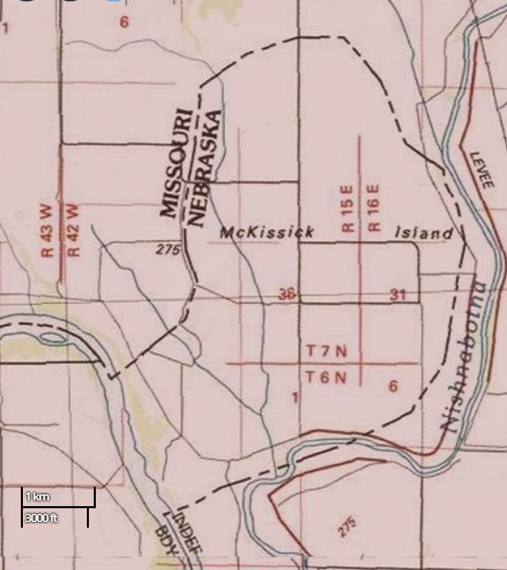
Description: Section of USGS topographic map of the McKissick Island area of northwest Missouri and eastern Nebraska for the McKissick Island article.
Title: Map of the McKissick Island of Missouri and Nebraska
Credit: Hamburg, MO USGS Topographic map
Author: USGS
Usage Terms: Public domain
License: PD
Attribution Required?: No
Image usage
The following 2 pages link to this image:

All content from Kiddle encyclopedia articles (including the article images and facts) can be freely used under Attribution-ShareAlike license, unless stated otherwise.