
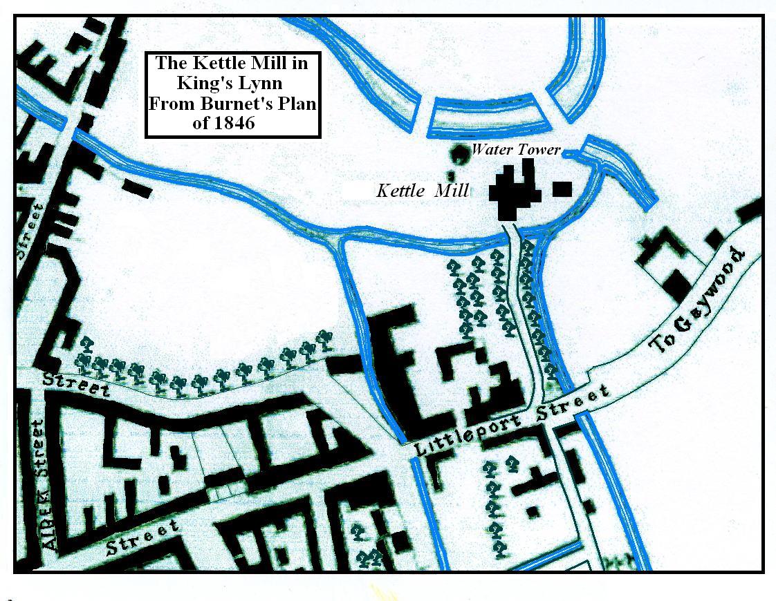
Image: Map of the Kettle Mill 1846
Size of this preview: 773 × 599 pixels. Other resolutions: 310 × 240 pixels | 1,122 × 870 pixels.
Original image (1,122 × 870 pixels, file size: 213 KB, MIME type: image/jpeg)
Description: A Map Drawn using Paintbrush of the Kettle Mill on the River Gaywood, King's Lynn.
Title: Map of the Kettle Mill 1846
Credit: Own workafter Burnets Plan of King's Lynn from 1846
Author: M Hobbs (talk) (Uploads)
Usage Terms: Public domain
License: Public domain
Attribution Required?: No
Image usage
The following page links to this image:

All content from Kiddle encyclopedia articles (including the article images and facts) can be freely used under Attribution-ShareAlike license, unless stated otherwise.