
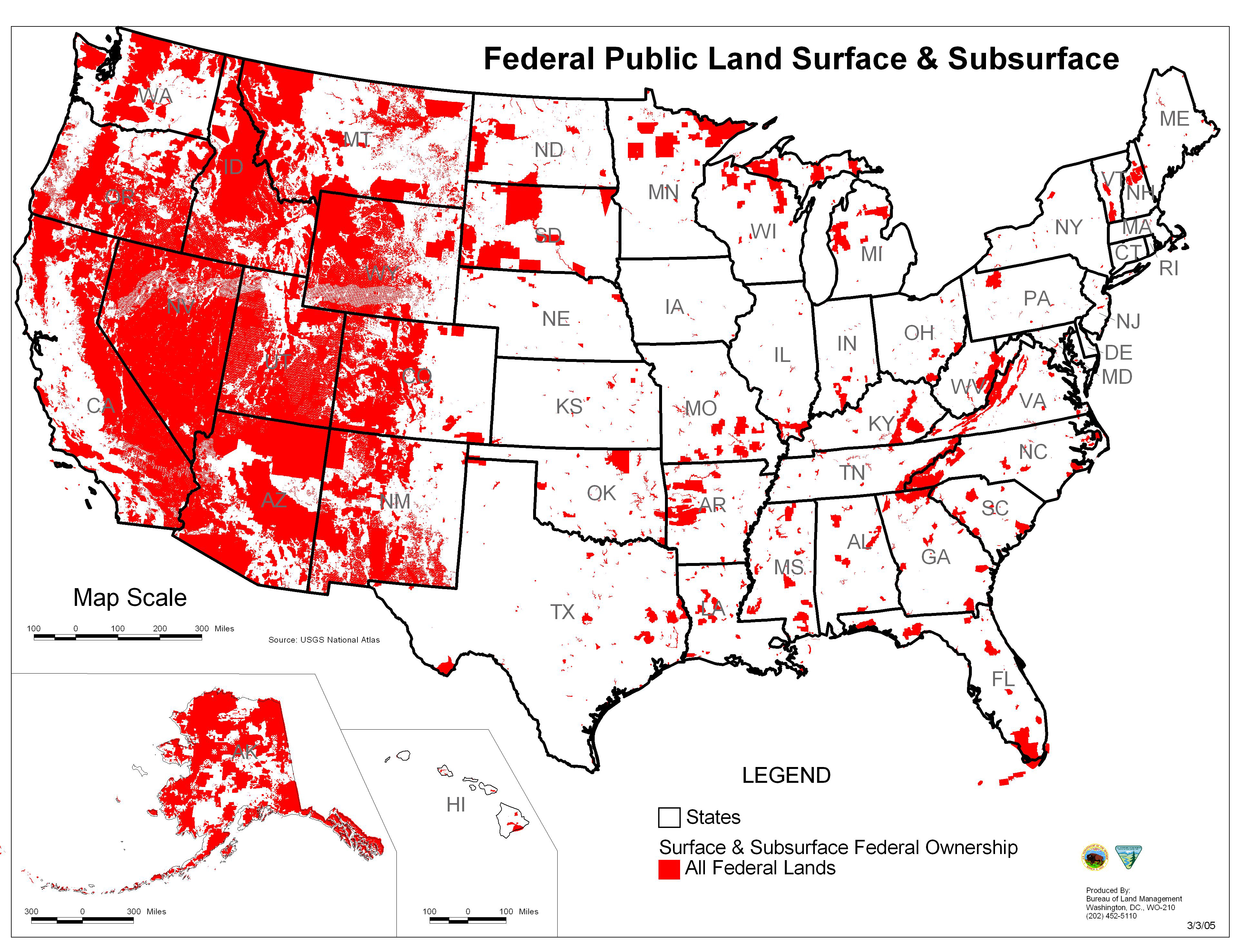
Image: Map of all U.S. Federal Land
Size of this preview: 780 × 599 pixels. Other resolutions: 312 × 240 pixels | 3,844 × 2,954 pixels.
Original image (3,844 × 2,954 pixels, file size: 5.3 MB, MIME type: image/jpeg)
Description: Map of all federally owned land in the United States.
Title: Map of all U.S. Federal Land
Credit: http://wilderness.org/blm-lands
Author: Bureau of Land Management
Usage Terms: Public domain
License: Public domain
Attribution Required?: No
Image usage
The following 2 pages link to this image:

All content from Kiddle encyclopedia articles (including the article images and facts) can be freely used under Attribution-ShareAlike license, unless stated otherwise.