
Image: Map of Watford and Cassiobury Park by John Cary
No higher resolution available.
Map_of_Watford_and_Cassiobury_Park_by_John_Cary.jpg (789 × 406 pixels, file size: 302 KB, MIME type: image/jpeg)
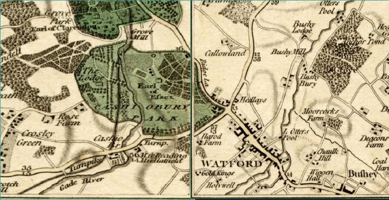
Description: Map of Watford and Cassiobury Park by John Cary. Detail from Cary's Actual Survey of the Country Fifteen Miles Round London
Usage Terms: Public domain
Image usage
The following page links to this image:

All content from Kiddle encyclopedia articles (including the article images and facts) can be freely used under Attribution-ShareAlike license, unless stated otherwise.