
Image: Map of Tönning
No higher resolution available.
Map_of_Tönning.jpg (567 × 484 pixels, file size: 443 KB, MIME type: image/jpeg)
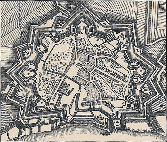
Description: Map of Tönning at the time of the Great Northern War (1700-1720).
Title: Map of Tönning
Credit: Scan from Danmarks Riges Historie volume 5 by Edvard Holm
Author: Saddhiyama
Permission: Expired copyright
Usage Terms: Public domain
License: Public domain
Attribution Required?: No
Image usage
The following page links to this image:

All content from Kiddle encyclopedia articles (including the article images and facts) can be freely used under Attribution-ShareAlike license, unless stated otherwise.