
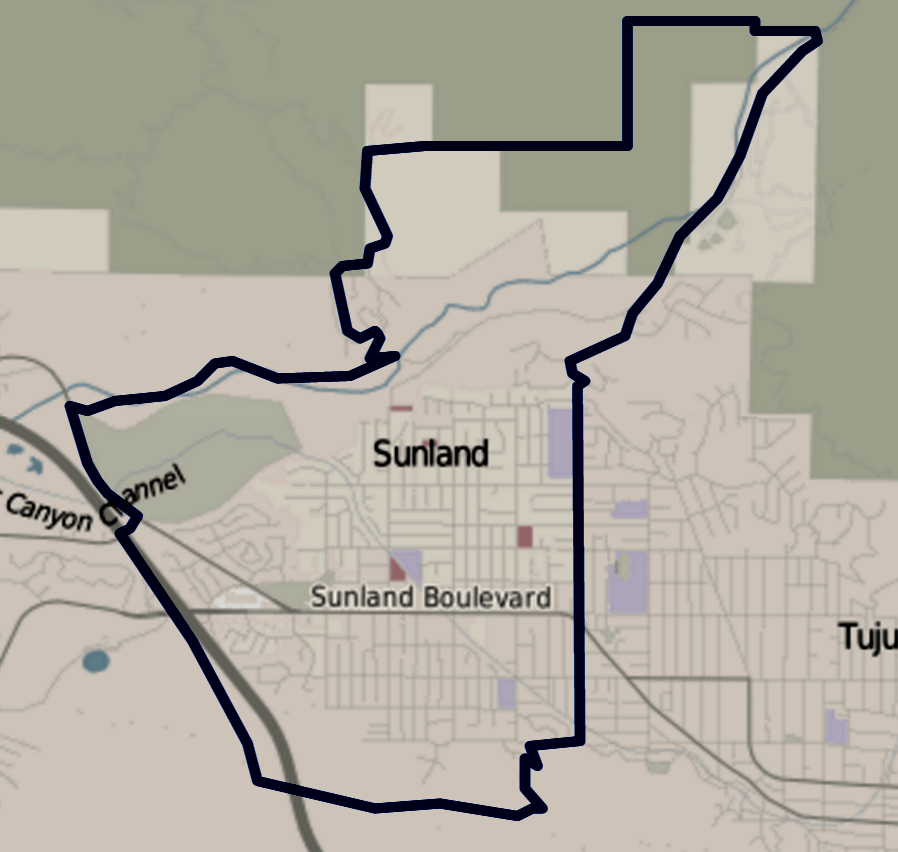
Image: Map of Sunland neighborhood, Los Angeles, California
Size of this preview: 632 × 600 pixels. Other resolutions: 253 × 240 pixels | 898 × 852 pixels.
Original image (898 × 852 pixels, file size: 333 KB, MIME type: image/png)
Description: Map of Sunland, California, as drawn by the Los Angeles Times. Other information Notation on lower right corner of map on the target page.
Title: Map of Sunland neighborhood, Los Angeles, California
Credit: http://maps.latimes.com/neighborhoods/neighborhood/sunland/
Author: Los Angeles Times
Permission: (Original text : http://maps.latimes.com/neighborhoods/neighborhood/sunland/)
Usage Terms: Creative Commons Attribution-Share Alike 3.0
License: CC BY-SA 3.0
License Link: http://creativecommons.org/licenses/by-sa/3.0
Attribution Required?: Yes
Image usage
The following page links to this image:

All content from Kiddle encyclopedia articles (including the article images and facts) can be freely used under Attribution-ShareAlike license, unless stated otherwise.