
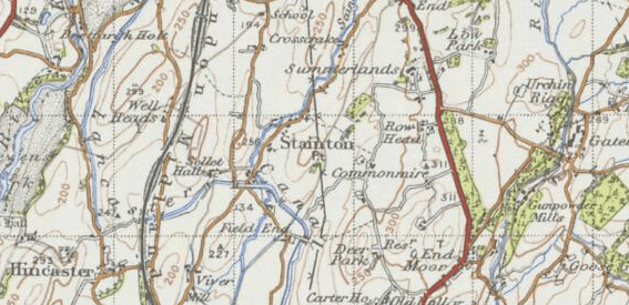
Image: Map of Stainton in the 20th Century
No higher resolution available.
Map_of_Stainton_in_the_20th_Century.PNG (567 × 275 pixels, file size: 400 KB, MIME type: image/png)
Description: 20th Century map of Stainton, South Lakeland received from the Vision of Britain Website.
Title: Map of Stainton in the 20th Century
Credit: http://www.visionofbritain.org.uk/maps/sheet/new_pop/264_089
Author: Ordnance Survey
Usage Terms: Creative Commons Attribution-Share Alike 4.0
License: CC BY-SA 4.0
License Link: http://creativecommons.org/licenses/by-sa/4.0
Attribution Required?: Yes
Image usage
The following page links to this image:

All content from Kiddle encyclopedia articles (including the article images and facts) can be freely used under Attribution-ShareAlike license, unless stated otherwise.