
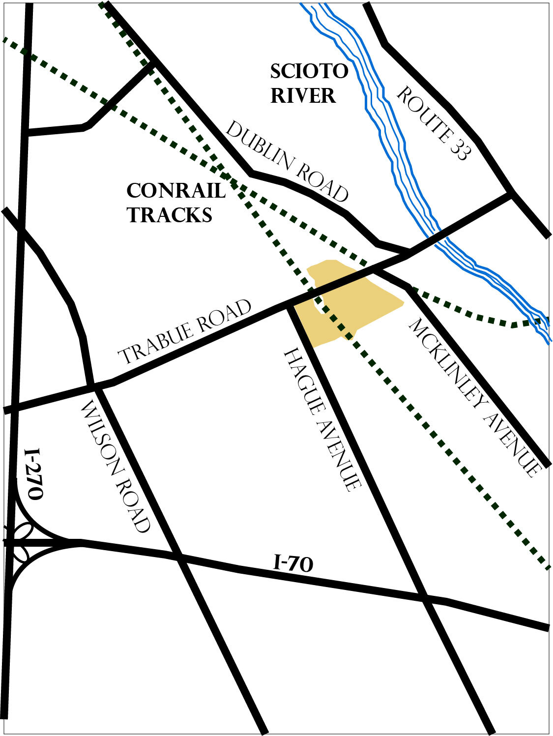
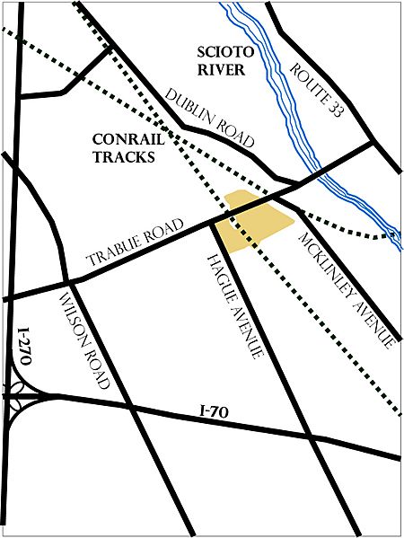
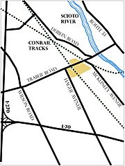
Image: Map of San Margherita
Size of this preview: 450 × 599 pixels. Other resolutions: 180 × 240 pixels | 1,125 × 1,497 pixels.
Original image (1,125 × 1,497 pixels, file size: 236 KB, MIME type: image/jpeg)
Description: Map describes the relative boundaries of the neighborhood of San Margherita, located between Hague and McKinley Avenues along Trabue Rd
Title: Map of San Margherita
Credit: The Columbus Dispatch
Author: Bitler, P. (1982, September 26). San Magherita Clings to Tradition. The Columbus Dispatch.
Usage Terms: Public domain
License: Public domain
Attribution Required?: No
Image usage
The following page links to this image:

All content from Kiddle encyclopedia articles (including the article images and facts) can be freely used under Attribution-ShareAlike license, unless stated otherwise.