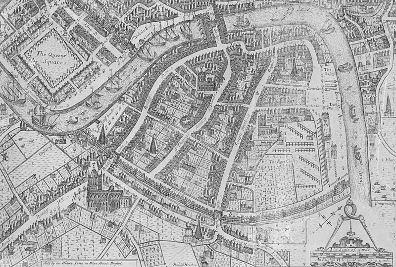
Image: Map of Redcliffe in 1728

Description: A 1728 map of Redcliffe. This was based on James Millerd's 1673 map of Bristol and is recorded as his map. However, it had been updated to include new developments, such as the conical 'glashouses', where glass was manufactured.
Title: Map of Redcliffe in 1728
Credit: Detail from the 1728 updated edition of James Millerd's map An Exact Delineation of the Famous Citty of Bristoll and Suburbs, first published in 1673. Digitisation undertaken by the Bristol Record Society of an engraving owned by the Society of Merchant Venturers, Bristol.
Author: James Millerd and unknown later editors.
Permission: The Society of Merchant Venturers and the Bristol Record Society make the images freely available on a creative commons license (2020). If reproducing the images in a publication, in whole or part, please acknowledge the Society of Merchant Venturers.
Usage Terms: Public domain
License: Public domain
Attribution Required?: No
Image usage
The following page links to this image:

