
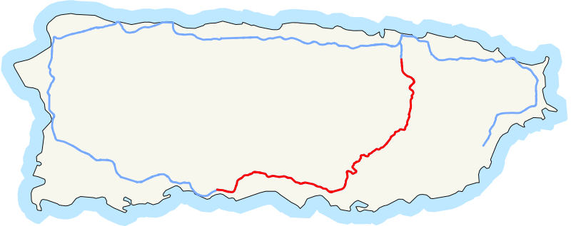
Image: Map of PR-52

Size of this PNG preview of this SVG file: 800 × 318 pixels. Other resolution: 320 × 127 pixels.
Original image (SVG file, nominally 1,259 × 500 pixels, file size: 136 KB)
Description: Map of Puerto Rico Highway 52. This graphic was created with QGIS This vector image was created with Inkscape.
Title: Map of PR-52
Credit: Own work
Author: Fredddie
Usage Terms: Public domain
License: Public domain
Attribution Required?: No
Image usage
The following page links to this image:

All content from Kiddle encyclopedia articles (including the article images and facts) can be freely used under Attribution-ShareAlike license, unless stated otherwise.