
Image: Map of Meridional India
Size of this preview: 800 × 578 pixels. Other resolutions: 320 × 231 pixels | 6,297 × 4,553 pixels.
Original image (6,297 × 4,553 pixels, file size: 2.36 MB, MIME type: image/jpeg)
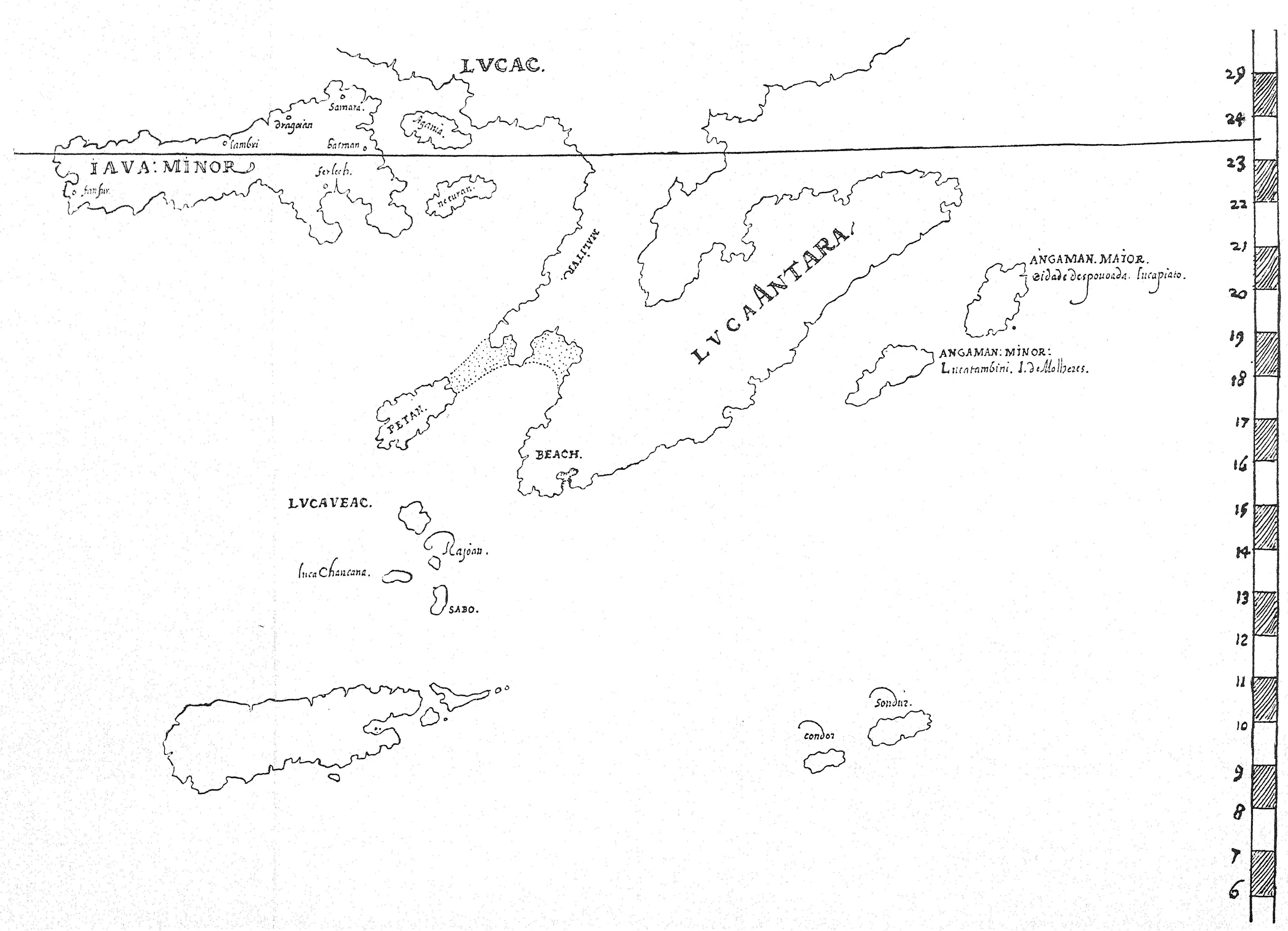
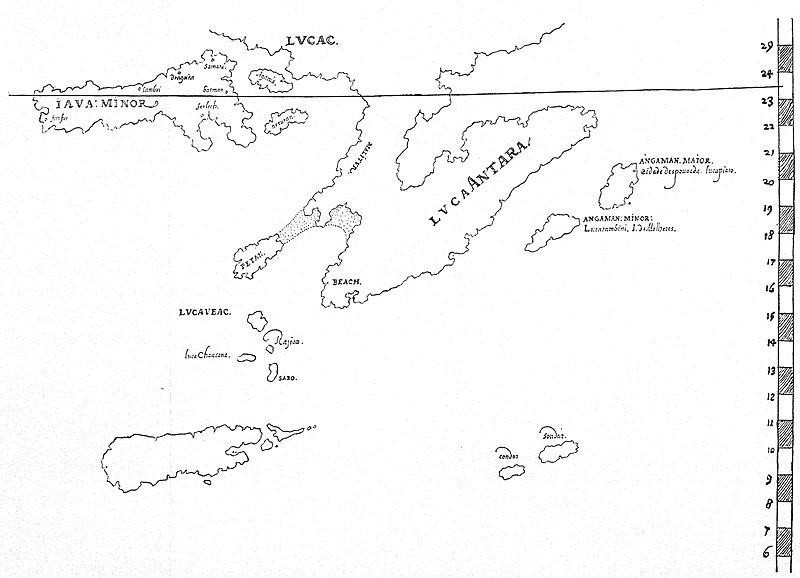
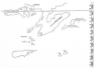
Description: A map of Meridional India (Southern India); bearing a general resemblance to Mercator’s map of 1569. Eredia has taken a typical map of the period, based on Mercator or Ortelius, and has incorporated his own surmises based on local information: the result is a cartographical nightmare. Note that the South is at the top of the map.
Title: Map of Meridional India
Credit: https://archive.org/details/in.ernet.dli.2015.281670/page/n279/mode/2up?q=venetian
Author: Manuel Godinho de Erédia (1563–1623)
Usage Terms: Public domain
License: Public domain
Attribution Required?: No
Image usage
The following page links to this image:

All content from Kiddle encyclopedia articles (including the article images and facts) can be freely used under Attribution-ShareAlike license, unless stated otherwise.