
Image: Map of Lundie 1880
Size of this preview: 800 × 600 pixels. Other resolutions: 320 × 240 pixels | 1,632 × 1,224 pixels.
Original image (1,632 × 1,224 pixels, file size: 459 KB, MIME type: image/jpeg)
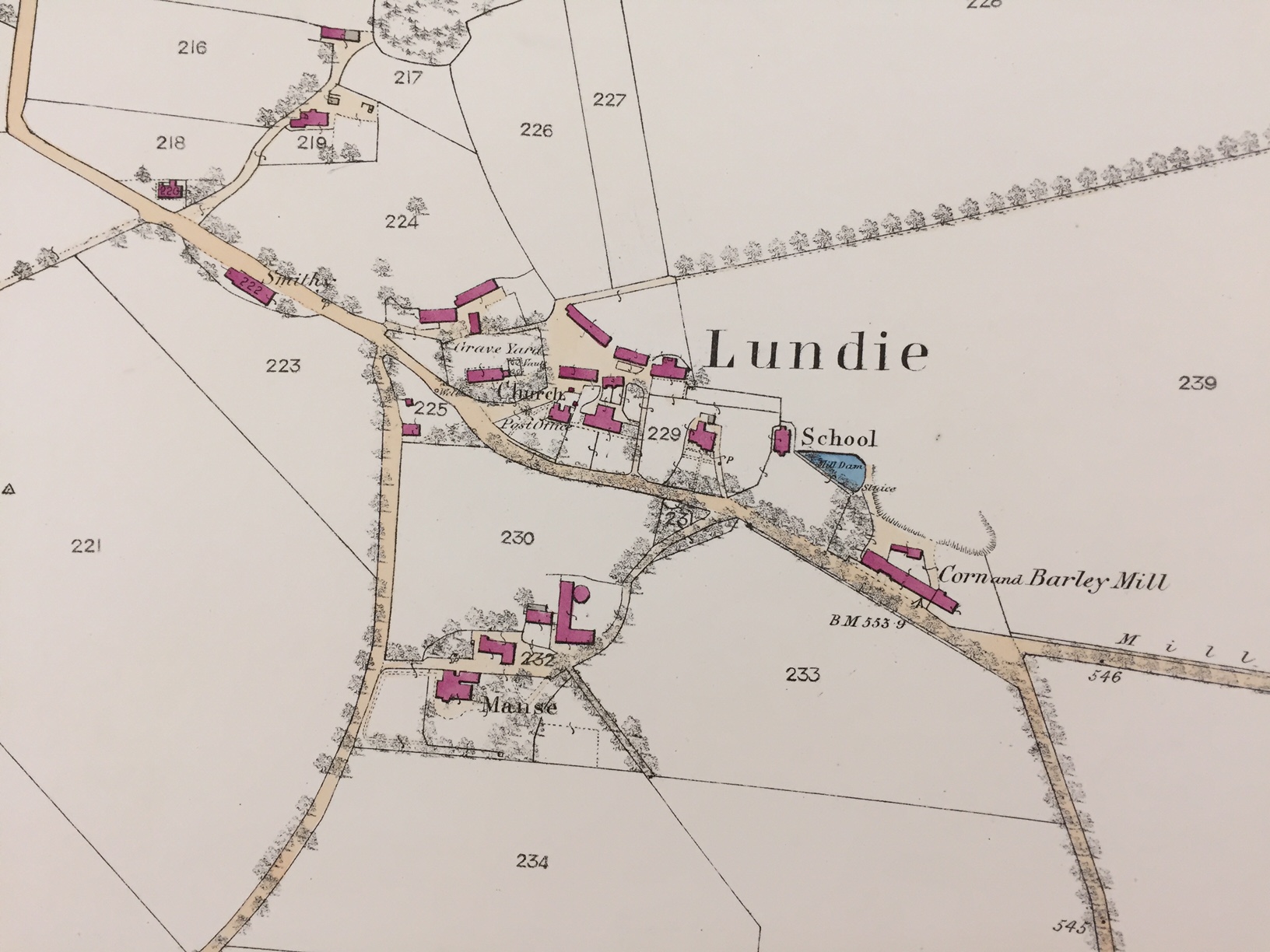
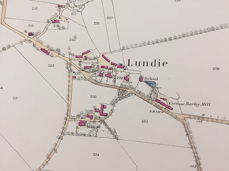
Description: Ordnance Plan of the Parish of Lundie (1863).Scale: 25.344 inches to one mile. Grid ref: NO 2901 3662 • X/Y co-ods: 329016, 736620 • Lat/Log: 56.51,-3.15. Height: 178.2m. The area is known for its beautiful walks around the local hills of Lundie Craigs.
Title: Map of Lundie 1880
Credit: Own work
Author: Craig Ward
Usage Terms: Creative Commons Attribution-Share Alike 4.0
License: CC BY-SA 4.0
License Link: https://creativecommons.org/licenses/by-sa/4.0
Attribution Required?: Yes
Image usage
The following page links to this image:

All content from Kiddle encyclopedia articles (including the article images and facts) can be freely used under Attribution-ShareAlike license, unless stated otherwise.