
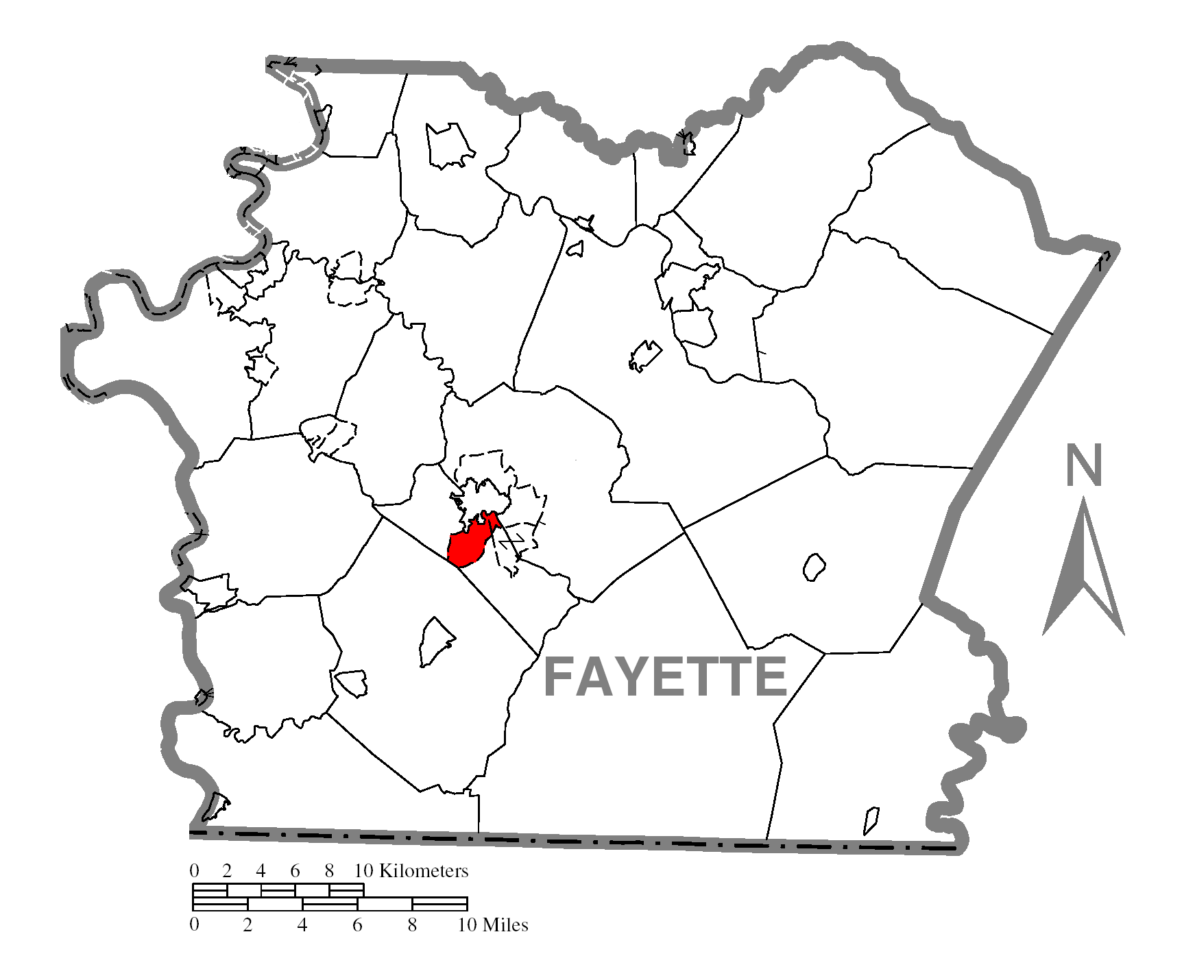
Image: Map of Leith-Hatfield, Fayette County, Pennsylvania Highlighted
Size of this preview: 749 × 599 pixels. Other resolutions: 300 × 240 pixels | 1,743 × 1,395 pixels.
Original image (1,743 × 1,395 pixels, file size: 111 KB, MIME type: image/png)
Description: Map of Fayette County higlighting Leith-Hatfield.
Title: Map of Leith-Hatfield, Fayette County, Pennsylvania Highlighted
Credit: Source image taken from the United States Census Bureau's website pa_cosub.pdf.
Author: User:Dtbohrer
Usage Terms: Public domain
License: Public domain
Attribution Required?: No
Image usage
The following page links to this image:

All content from Kiddle encyclopedia articles (including the article images and facts) can be freely used under Attribution-ShareAlike license, unless stated otherwise.