
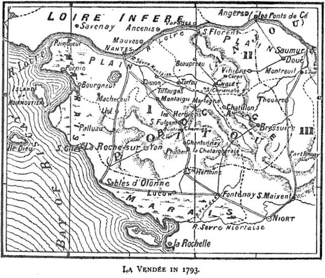
Image: Map of La Vendee in 1793
No higher resolution available.
Map_of_La_Vendee_in_1793.PNG (643 × 550 pixels, file size: 180 KB, MIME type: image/png)
Description: Map of the Vendee region of France in 1793. It is on page 123 in a book "Francois-Severin Marceau (1769-1796)" by Thomas George Johnson published in 1896 in London.
Title: Map of La Vendee in 1793
Credit: Johnson, Thomas George (1896). Francois-Severin Marceau (1769-1796) 123. George Bell & Sons. Retrieved on 25 June 2015.
Author: Thomas George Johnson
Usage Terms: Public domain
License: Public domain
Attribution Required?: No
Image usage
The following page links to this image:

All content from Kiddle encyclopedia articles (including the article images and facts) can be freely used under Attribution-ShareAlike license, unless stated otherwise.