
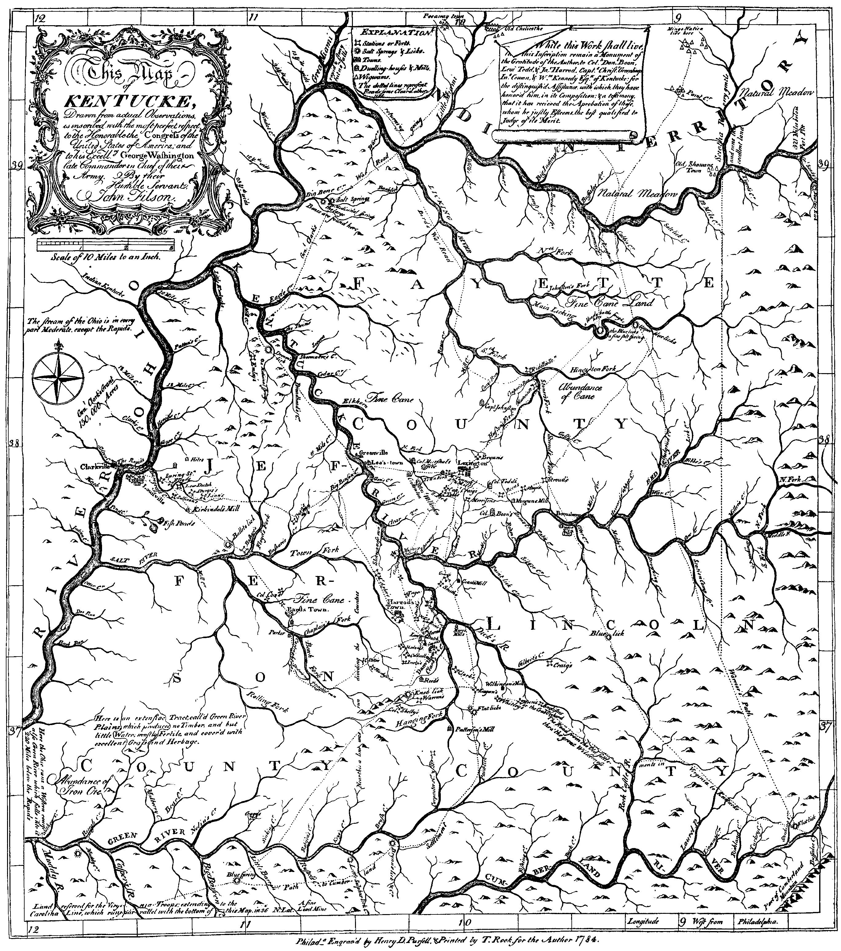
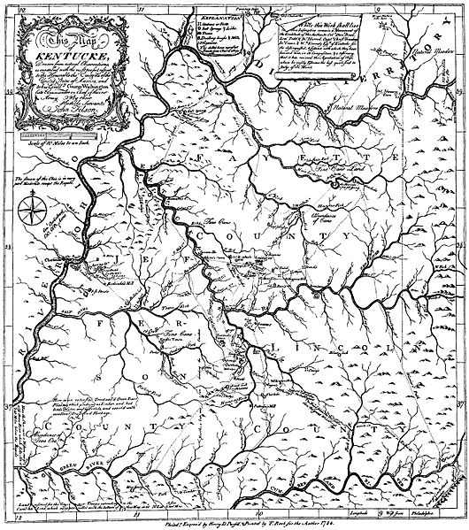
Image: Map of Kentucke (1784) black-and-white
Size of this preview: 530 × 599 pixels. Other resolutions: 212 × 240 pixels | 2,736 × 3,094 pixels.
Original image (2,736 × 3,094 pixels, file size: 1.84 MB, MIME type: image/jpeg)
Description: Map of Kentucke published in 1784 along with The Discovery, Settlement and Present State of Kentucke by John Filson.
Title: Map of Kentucke (1784) black-and-white
Credit: http://digitalcommons.unl.edu/etas/3/
Author: John Filson
Usage Terms: Public domain
License: Public domain
Attribution Required?: No
Image usage
The following page links to this image:

All content from Kiddle encyclopedia articles (including the article images and facts) can be freely used under Attribution-ShareAlike license, unless stated otherwise.
_black-and-white.jpg)