
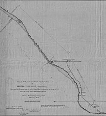
Image: Map of Isla de Mona as of February 1904, released on 14 March 1904 01

Size of this preview: 547 × 599 pixels. Other resolutions: 219 × 240 pixels | 2,012 × 2,203 pixels.
Original image (2,012 × 2,203 pixels, file size: 413 KB, MIME type: image/jpeg)
Description: Map of Isla de Mona as of February 1904, released on 14 March 1904
Title: Map of Isla de Mona as of February 1904, released on 14 March 1904 01
Credit: http://ferrocarrilespr.rogerseducationalpage.com/?p=7051 http://ferrocarrilespr.rogerseducationalpage.com/wp-content/uploads/2017/05/Isla-de-Mona-3.5MB.pdf http://ferrocarrilespr.rogerseducationalpage.com/wp-content/uploads/2017/05/Mona-Island-2.jpg
Author: Letter from A. Stierle to W. T. Russell
Usage Terms: Public domain
License: Public domain
Attribution Required?: No
Image usage
The following page links to this image:

All content from Kiddle encyclopedia articles (including the article images and facts) can be freely used under Attribution-ShareAlike license, unless stated otherwise.