
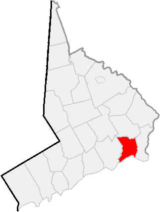
Image: Map of Fairfield County, Connecticut Bridgeport Highlighted
No higher resolution available.
Map_of_Fairfield_County,_Connecticut_Bridgeport_Highlighted.PNG (323 × 429 pixels, file size: 9 KB, MIME type: image/png)
Description: Some data used in this map is from the United States Census Bureau at http://factfinder.census.gov/jsp/saff/SAFFInfo.jsp?_pageId=referencemaps&_submenuId=maps_2
Title: Map of Fairfield County, Connecticut Bridgeport Highlighted
Credit: Transferred from en.wikipedia to Commons by Gökhan.
Author: Kotosb at English Wikipedia
Usage Terms: Creative Commons Attribution 3.0
License: CC BY 3.0
License Link: http://creativecommons.org/licenses/by/3.0
Attribution Required?: Yes
Image usage
The following page links to this image:

All content from Kiddle encyclopedia articles (including the article images and facts) can be freely used under Attribution-ShareAlike license, unless stated otherwise.