
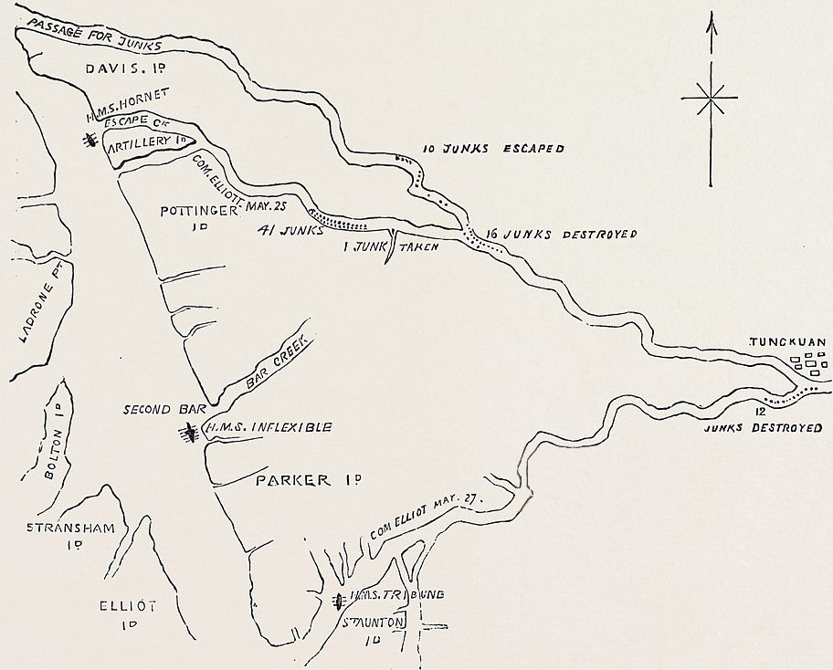
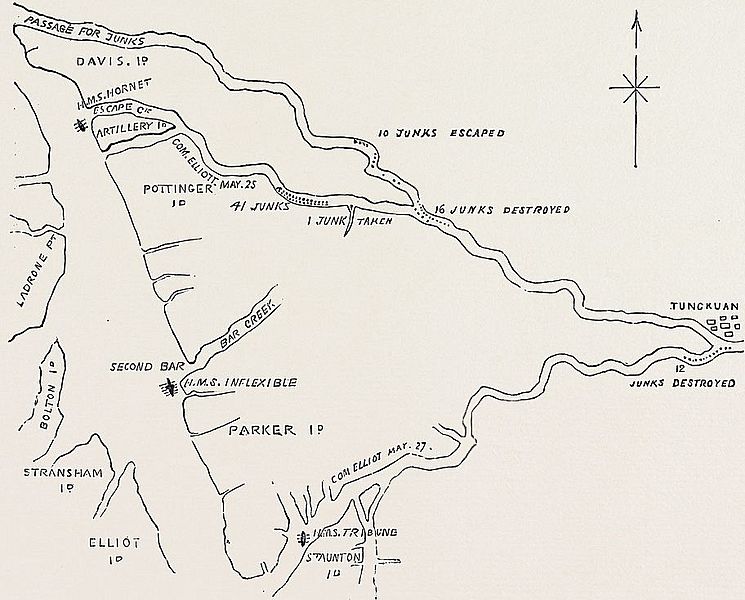
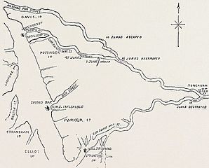
Image: Map of Escape Creek
Size of this preview: 745 × 600 pixels. Other resolutions: 298 × 240 pixels | 912 × 734 pixels.
Original image (912 × 734 pixels, file size: 242 KB, MIME type: image/jpeg)
Description: Official plan of Commodore Elliot's engagements in Escape Creek.
Title: Map of Escape Creek
Credit: The Illustrated London News. 31 (837). 15 August 1857. p. 168.
Author: Not identified
Usage Terms: Public domain
License: Public domain
Attribution Required?: No
Image usage
The following page links to this image:

All content from Kiddle encyclopedia articles (including the article images and facts) can be freely used under Attribution-ShareAlike license, unless stated otherwise.