
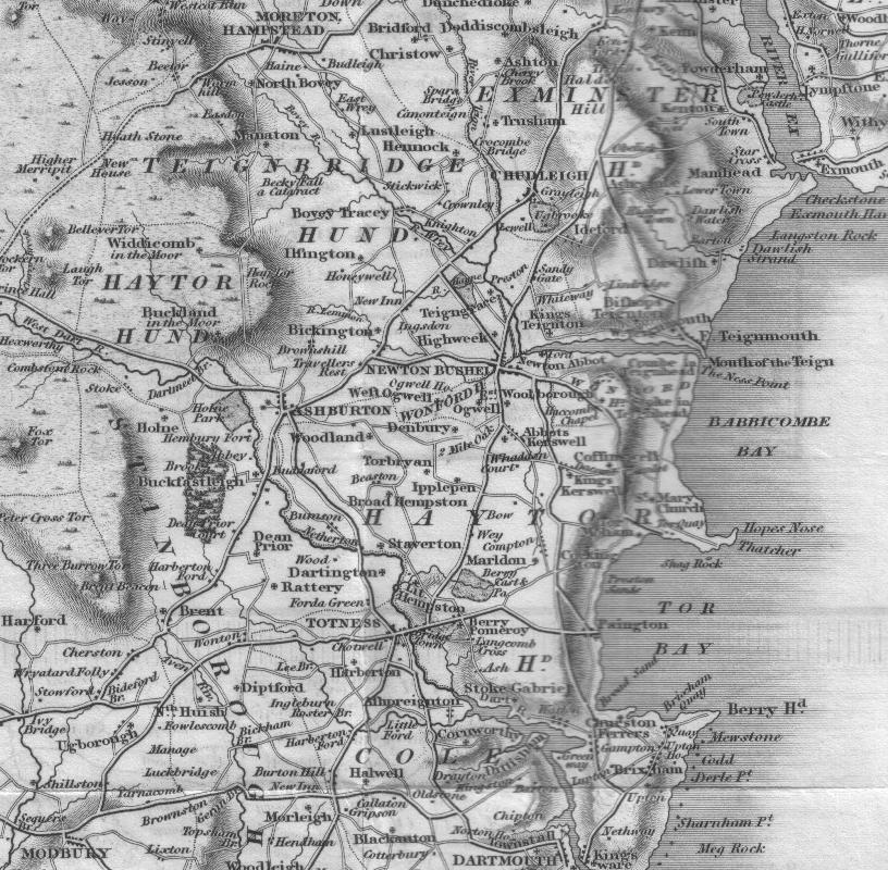
Image: Map of Devon between Haytor and Teignmouth (ca 1830)
Size of this preview: 612 × 600 pixels. Other resolutions: 245 × 240 pixels | 816 × 800 pixels.
Original image (816 × 800 pixels, file size: 189 KB, MIME type: image/jpeg)
Title: Map of Devon between Haytor and Teignmouth (ca 1830)
Usage Terms: Public domain
License: Public domain
License Link: //en.wikipedia.org/wiki/File:Map_of_Devon_between_Haytor_and_Teignmouth_(ca_1830).jpg
Image usage
The following image is a duplicate of this image (more details):
There are no pages that link to this image.

All content from Kiddle encyclopedia articles (including the article images and facts) can be freely used under Attribution-ShareAlike license, unless stated otherwise.
.jpg)