
Image: Map of Cyrenaica (cropped)
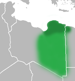
Description: The Ottoman Turks conquered the country in the mid-16th century, and the three States or "Wilayat" of Tripolitania, Cyrenaica and Fezzan (which make up Libya) remained part of their empire with the exception of the virtual autonomy of the Karamanlis. The Karamanlis ruled from 1711 until 1835 mainly in Tripolitania, but had influence in Cyrenaica and Fezzan as well by the mid 18th century.
Title: Map of Cyrenaica (cropped)
Credit: United_States_of_North_Africa_Locator.png Ottoman_Provinces_Of_Present_day_Libyapng.png
Author: United_States_of_North_Africa_Locator.png: Own work Ottoman_Provinces_Of_Present_day_Libyapng.png: Esemono derivative work: Felitsata (talk)
Usage Terms: Public domain
License: Public domain
Attribution Required?: No
Image usage
The following page links to this image:

.png)