
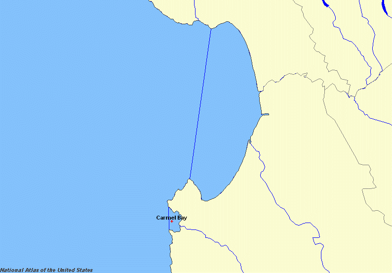
Image: Map of Carmel Bay by NationalAtlasDotGov
No higher resolution available.
Map_of_Carmel_Bay_by_NationalAtlasDotGov.png (794 × 552 pixels, file size: 42 KB, MIME type: image/png)
Description: A user-generated free map generated by NationalAtlas.gov
Title: Map of Carmel Bay by NationalAtlasDotGov
Credit: http://nationalatlas.gov
Author: U.S. Government
Permission: http://nationalatlas.gov/
Usage Terms: Public domain
License: Public domain
Attribution Required?: No
Image usage
The following page links to this image:

All content from Kiddle encyclopedia articles (including the article images and facts) can be freely used under Attribution-ShareAlike license, unless stated otherwise.