
Image: Map of Carlsbad Caverns National Park
Size of this preview: 707 × 599 pixels. Other resolutions: 283 × 240 pixels | 1,104 × 936 pixels.
Original image (1,104 × 936 pixels, file size: 113 KB, MIME type: image/png)
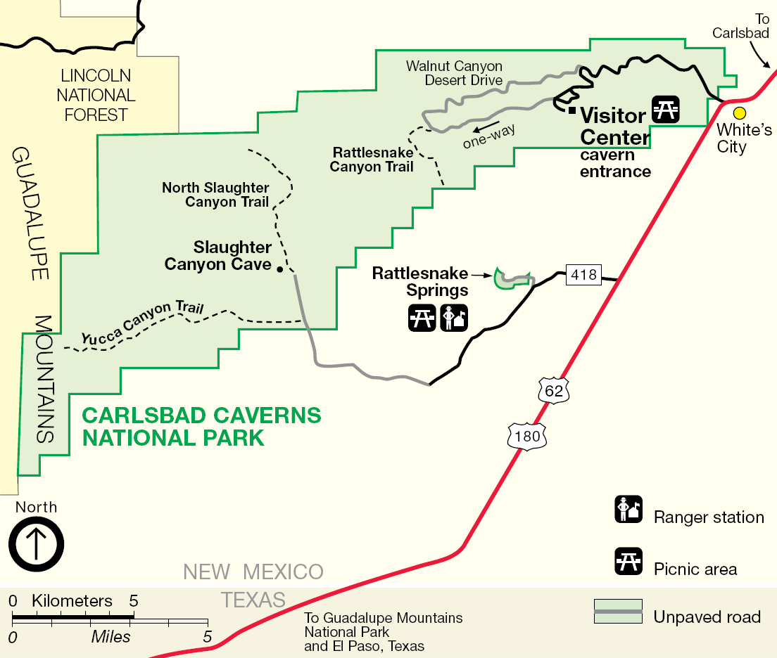
Description: Map of Carlsbad Caverns National Park — in the Guadalupe Mountains, Eddy County, southeastern New Mexico. This is an image of a place or building that is listed on the National Register of Historic Places in the United States of America. Its reference number is 88001173.
Title: Map of Carlsbad Caverns National Park
Credit: http://www.nps.gov
Author: National Park Service
Usage Terms: Public domain
License: Public domain
Attribution Required?: No
Image usage
The following page links to this image:

All content from Kiddle encyclopedia articles (including the article images and facts) can be freely used under Attribution-ShareAlike license, unless stated otherwise.