
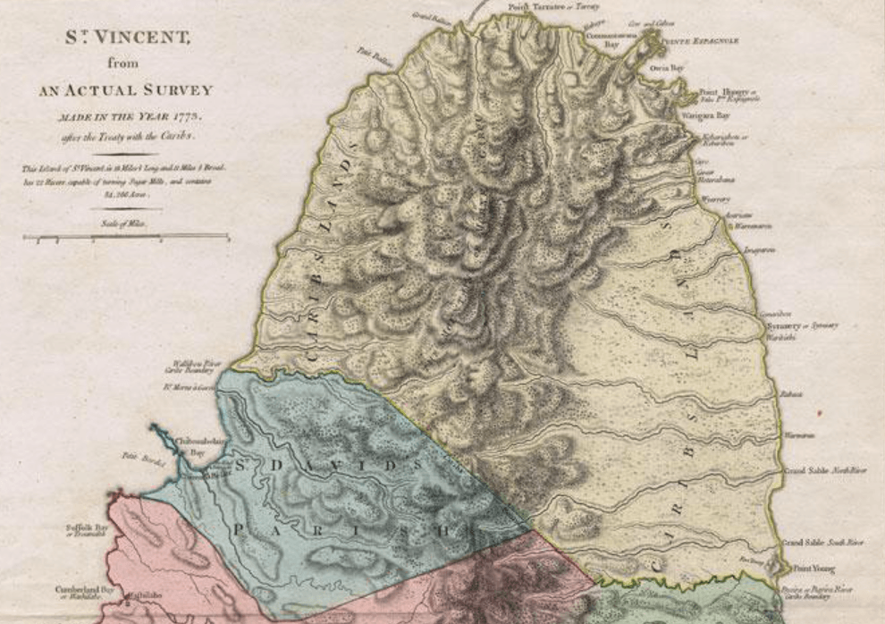
Image: Map of Carib Land after Treaty of 1773
Size of this preview: 800 × 564 pixels. Other resolutions: 320 × 226 pixels | 990 × 698 pixels.
Original image (990 × 698 pixels, file size: 459 KB, MIME type: image/png)
Description: Section of tinted historic map of Saint Vincent
Title: Map of Carib Land after Treaty of 1773
Credit: https://www.abebooks.co.uk/servlet/BookDetailsPL?bi=30624712236&cm_mmc=ggl-_-UK_Shopp_RareStandard-_-product_id=bi%3A%2030624712236-_-keyword=&gclid=Cj0KCQiA0eOPBhCGARIsAFIwTs6Eox0hNXDKYxdCenJTNiAY9vn6CmFDlDE8mt6RDFP58wVtGhVay40aAmo5EALw_wcB
Author: Thomas Jeffreys
Usage Terms: Public domain
License: Public domain
Attribution Required?: No
Image usage
The following page links to this image:

All content from Kiddle encyclopedia articles (including the article images and facts) can be freely used under Attribution-ShareAlike license, unless stated otherwise.