
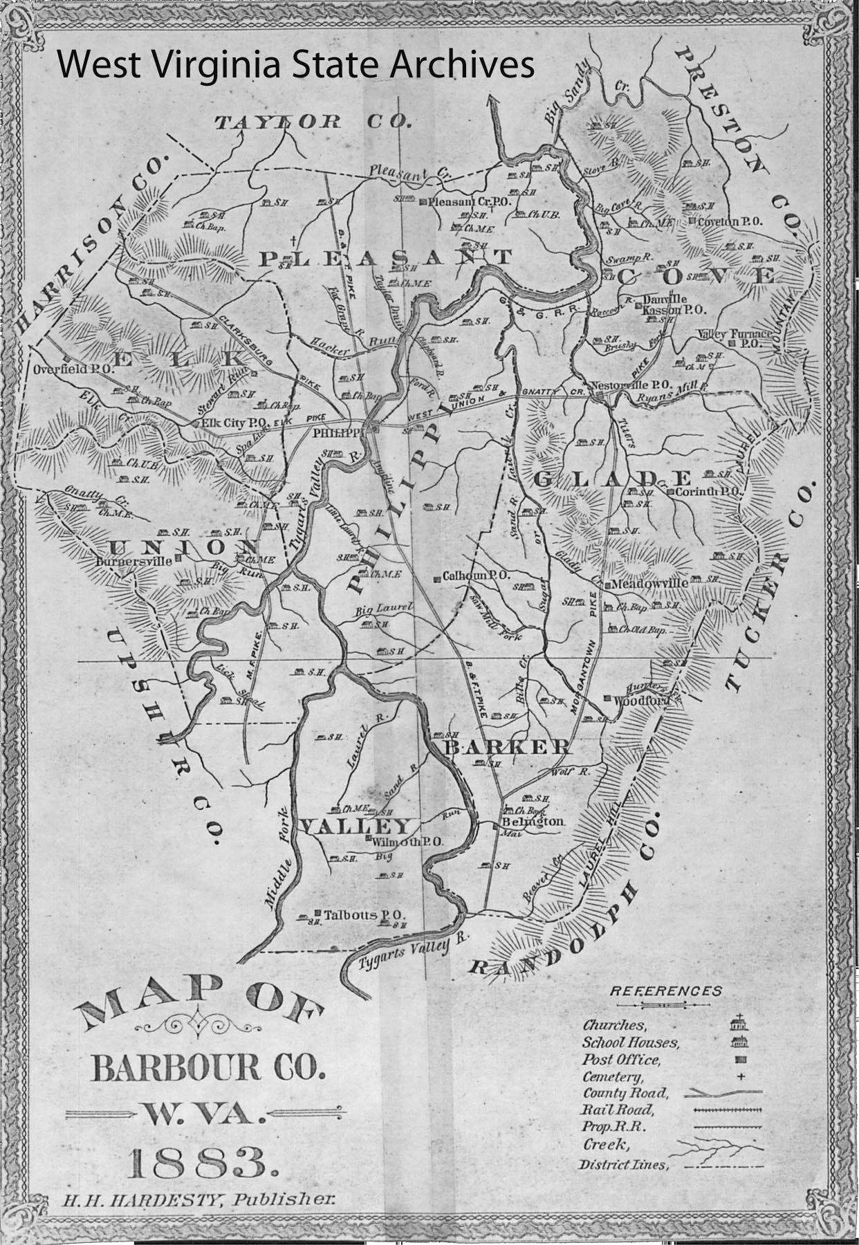
Image: Map of Barbour County, W.Va., 1883
Size of this preview: 414 × 600 pixels. Other resolutions: 165 × 240 pixels | 1,242 × 1,800 pixels.
Original image (1,242 × 1,800 pixels, file size: 435 KB, MIME type: image/jpeg)
Description: "Map of Barbour County, W.Va., 1883" from Hardesty's Historical and Geographical Encyclopedia; "Special Virginia Edition" (1883-84; 13 vols).
Title: Map of Barbour County, W.Va., 1883
Credit: "Barbour County", Hardesty's Historical and Geographical Encyclopedia; "Special Virginia Edition" (1883-84; 13 vols).
Author: H.H. Hardesty
Usage Terms: Public domain
License: Public domain
Attribution Required?: No
Image usage
The following page links to this image:

All content from Kiddle encyclopedia articles (including the article images and facts) can be freely used under Attribution-ShareAlike license, unless stated otherwise.