
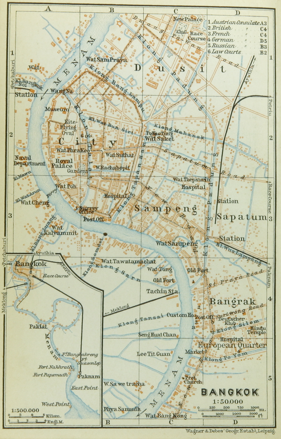
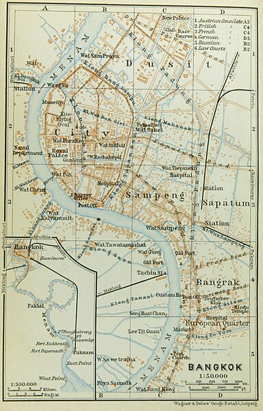
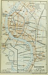
Image: Map of Bangkok (Baedeker, 1914)
Size of this preview: 384 × 599 pixels. Other resolutions: 154 × 240 pixels | 988 × 1,542 pixels.
Original image (988 × 1,542 pixels, file size: 1.45 MB, MIME type: image/jpeg)
Description: Map of the city of Bangkok, ca 1914 (1:50,000), incl. an inserted small map showing the course of the Mae Nam river down to its mouth (1:500,000). Labelled in English.
Title: Map of Bangkok (Baedeker, 1914)
Credit: Baedeker, Karl: Indien. Handbuch für Reisende. Verlag Karl Baedeker, Leipzig, 1914, p. 300 f.
Author: Cartographers (Heinrich) Wagner & (Ernest) Debes, Leipzig.
Usage Terms: Public domain
License: Public domain
Attribution Required?: No
Image usage
The following page links to this image:

All content from Kiddle encyclopedia articles (including the article images and facts) can be freely used under Attribution-ShareAlike license, unless stated otherwise.
.jpg)