
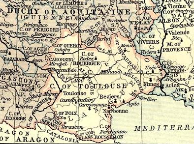
Image: Map en county of Toulouse 1154
No higher resolution available.
Map_en_county_of_Toulouse_1154.jpg (394 × 293 pixels, file size: 74 KB, MIME type: image/jpeg)
Description: Map of County of Toulouse in 1154.
Title: Map en county of Toulouse 1154
Credit: This map come from the map collection of University of Texas, specifically from: France, 1154-1184, from Historical Atlas by William R. Shepherd, 1911.. It is in the public domain (http://www.lib.utexas.edu/maps/faq.html#3.html).
Author: William Robert Shepherd
Usage Terms: Public domain
License: Public domain
Attribution Required?: No
Image usage
The following page links to this image:

All content from Kiddle encyclopedia articles (including the article images and facts) can be freely used under Attribution-ShareAlike license, unless stated otherwise.