
Image: Map North Carolina roads and railroads 1854
Size of this preview: 800 × 547 pixels. Other resolutions: 320 × 219 pixels | 2,384 × 1,630 pixels.
Original image (2,384 × 1,630 pixels, file size: 1.06 MB, MIME type: image/jpeg)
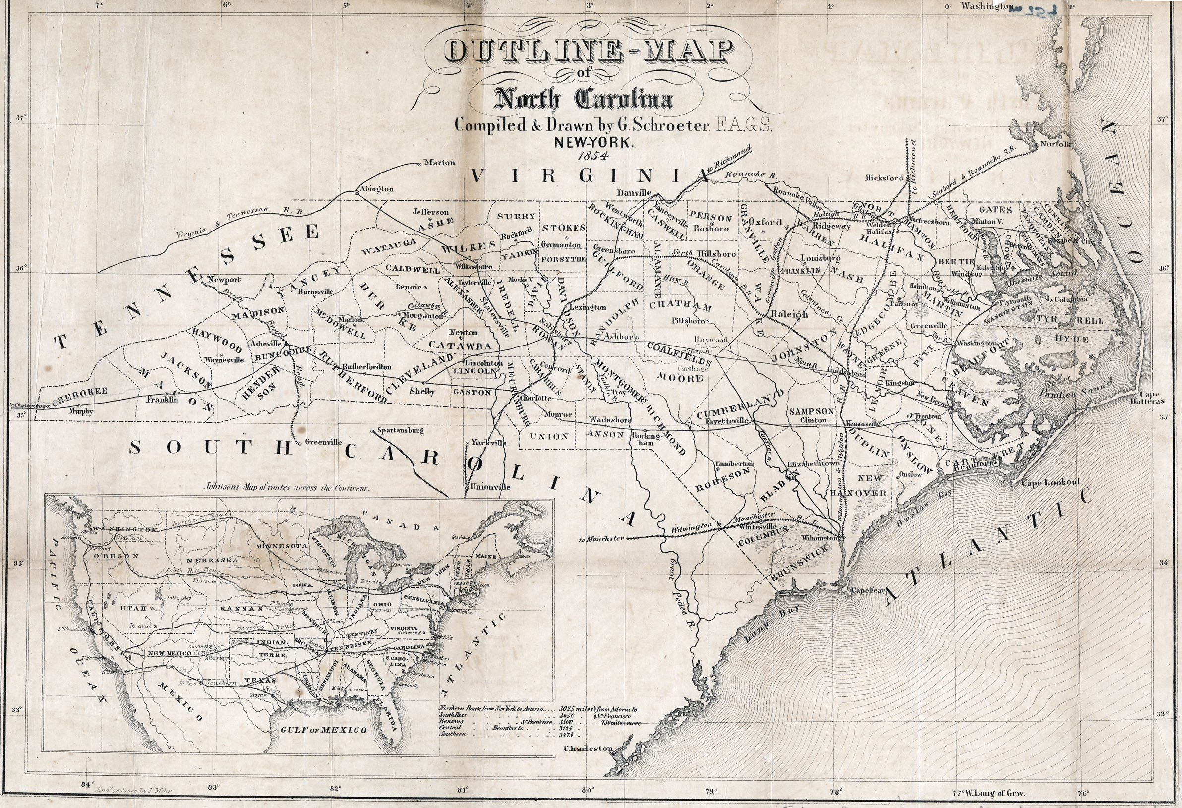
Description: Map depicting the roads and railroads of North Carolina in 1854.
Title: Map North Carolina roads and railroads 1854
Credit: http://www.learnnc.org/lp/multimedia/12394
Author: G. Schroeter
Usage Terms: Public domain
License: Public domain
Attribution Required?: No
Image usage
The following page links to this image:

All content from Kiddle encyclopedia articles (including the article images and facts) can be freely used under Attribution-ShareAlike license, unless stated otherwise.