
Image: Map NE Kent with Shuart
No higher resolution available.
Map_NE_Kent_with_Shuart.jpg (632 × 405 pixels, file size: 64 KB, MIME type: image/jpeg)
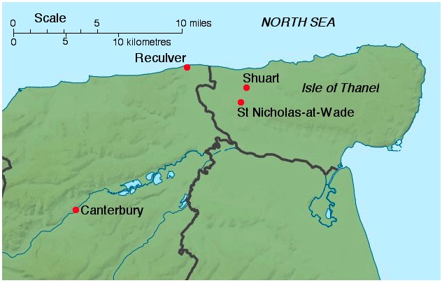
Description: Map of north-east Kent, showing the relative locations of Canterbury, Reculver, St Nicholas-at-Wade and Shuart, adapted from File:Kent UK relief location map.jpg
Title: Map NE Kent with Shuart
Credit: Own work
Author: Nortonius
Usage Terms: Creative Commons Attribution-Share Alike 3.0
License: CC BY-SA 3.0
License Link: https://creativecommons.org/licenses/by-sa/3.0
Attribution Required?: Yes
Image usage
The following page links to this image:

All content from Kiddle encyclopedia articles (including the article images and facts) can be freely used under Attribution-ShareAlike license, unless stated otherwise.