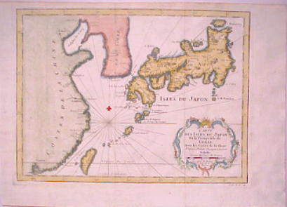
Image: Map Japan 1746
Map_Japan_1746.JPG (409 × 295 pixels, file size: 20 KB, MIME type: image/jpeg)
Description: "Carte Des Isles Du Japon Et la Presqu'Isle de Coree Avec les Costes de la Chine" (Map of Islands of Japan and Nearby Korean with Coasts of China) by Bellin, Paris 1746
Title: Map Japan 1746
Credit: http://www.portsmouthbookshop.com/MapPage/MapPages572xx/57293japa.htm
Author: Bellin
Usage Terms: Public domain
License: Public domain
Attribution Required?: No
Image usage
The following page links to this image:

All content from Kiddle encyclopedia articles (including the article images and facts) can be freely used under Attribution-ShareAlike license, unless stated otherwise.

