
Image: Map British troop movement Philippines 1762
Size of this preview: 462 × 600 pixels. Other resolutions: 185 × 240 pixels | 1,271 × 1,650 pixels.
Original image (1,271 × 1,650 pixels, file size: 356 KB, MIME type: image/jpeg)
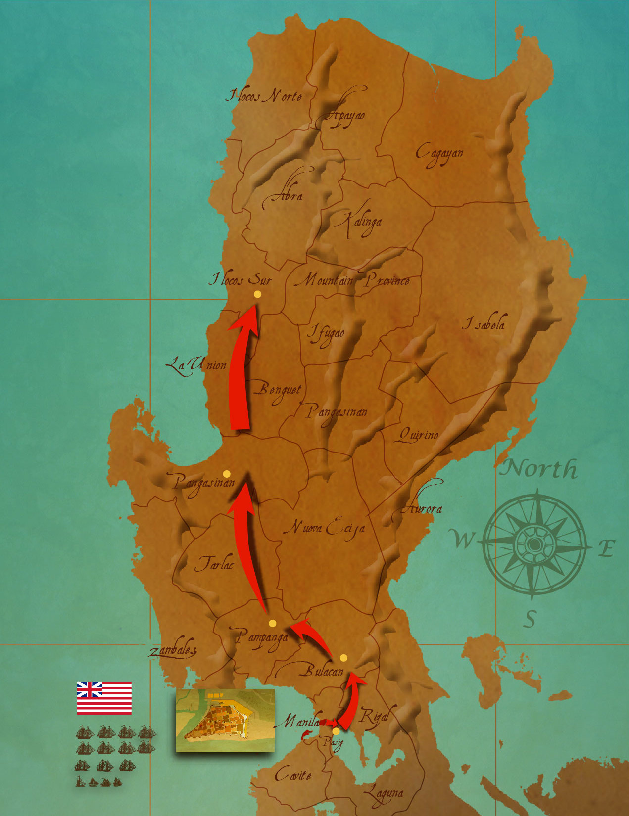
Description: This map shows the chronological advance of British troops toward parts of Northern Luzon during the British Occupation of Manila from 1762 to 1764 during the Seven Years War
Title: Map British troop movement Philippines 1762
Credit: http://malacanang.gov.ph/the-british-conquest-of-manila/
Author: Presidential Communications Development and Strategic Planning Office
Usage Terms: Public domain
License: Public domain
Attribution Required?: No
Image usage
The following page links to this image:

All content from Kiddle encyclopedia articles (including the article images and facts) can be freely used under Attribution-ShareAlike license, unless stated otherwise.