
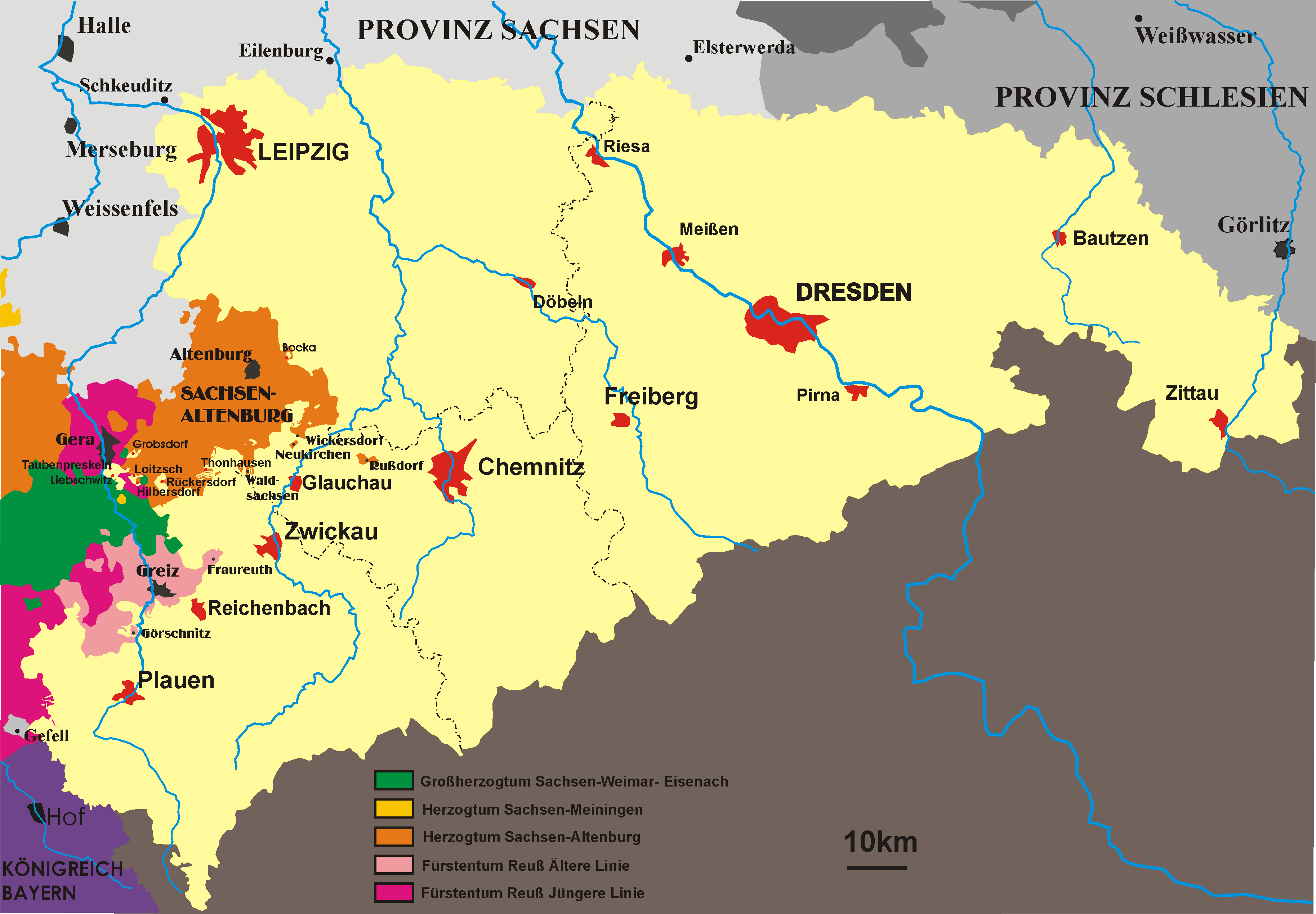
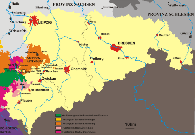
Image: Map-saxony1900
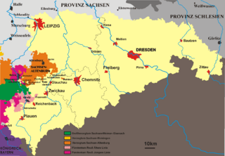
Size of this preview: 800 × 556 pixels. Other resolutions: 320 × 222 pixels | 3,653 × 2,538 pixels.
Original image (3,653 × 2,538 pixels, file size: 115 KB, MIME type: image/png)
Description: Map of kingdom Saxony in the 19th century 1815-1918 self made by störfix
Title: Map-saxony1900
Credit: No machine-readable source provided. Own work assumed (based on copyright claims).
Author: No machine-readable author provided. Störfix assumed (based on copyright claims).
Usage Terms: Public domain
License: Public domain
Attribution Required?: No
Image usage
The following 2 pages link to this image:

All content from Kiddle encyclopedia articles (including the article images and facts) can be freely used under Attribution-ShareAlike license, unless stated otherwise.