
Image: Map-of-torquay

Size of this preview: 800 × 600 pixels. Other resolutions: 320 × 240 pixels | 1,024 × 768 pixels.
Original image (1,024 × 768 pixels, file size: 277 KB, MIME type: image/png)
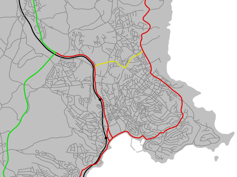
Description: A map of Torquay. Specifically: Torquay, including Barton, Watcombe, The Willows, Combe Pafford, Edginswell, Hele, St Marychurch, Shiphay, Torre, Upton, Plainmoor, Ellacombe, Babbacombe, Chelston, Wellswood, and Livermead Daccombe North Whilborough Cockington Parts of Kingskerswell, Maidencombe, Compton, Marldon, and Paignton (Hollicombe, and parts of Shorton and Preston)
Title: Map-of-torquay
Credit: Own work (see http://www.safalra.com/other/free-map-of-torquay/ for details of its construction from public domain sources)
Author: Safalra (Stephen Morley)
Usage Terms: Public domain
License: Public domain
Attribution Required?: No
Image usage
The following page links to this image:

All content from Kiddle encyclopedia articles (including the article images and facts) can be freely used under Attribution-ShareAlike license, unless stated otherwise.