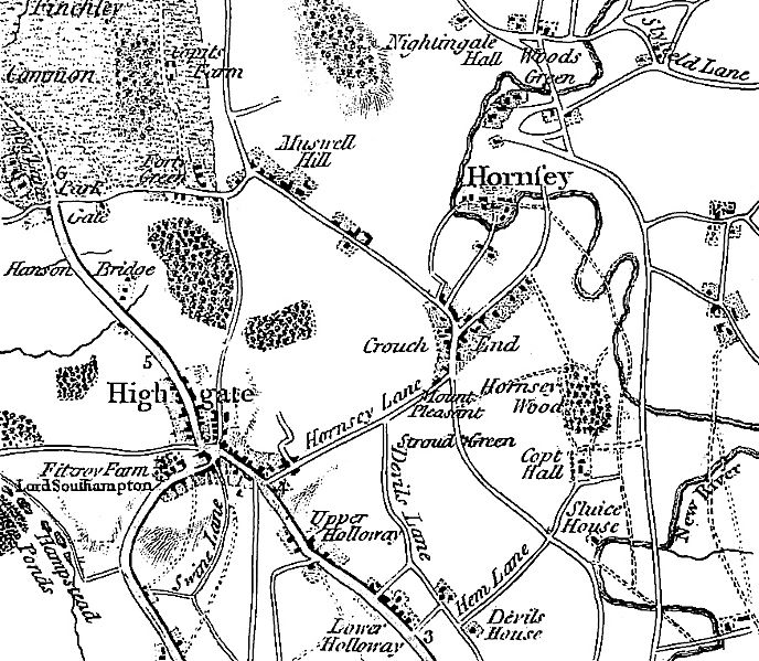
Image: Map- Stroud Green, London 1786

Size of this preview: 688 × 599 pixels. Other resolutions: 276 × 240 pixels | 875 × 762 pixels.
Original image (875 × 762 pixels, file size: 485 KB, MIME type: image/jpeg)
Description: The context of Stroud Green, London, in its immediate region (1786), taken from Fifteen Miles Round London 1786 (first edition) by John Cary. See the Wikipedia page on Stroud Green for more information about the area.
Title: Map- Stroud Green, London 1786
Usage Terms: Public domain
License: Public domain
Attribution Required?: No
Image usage
The following page links to this image:

All content from Kiddle encyclopedia articles (including the article images and facts) can be freely used under Attribution-ShareAlike license, unless stated otherwise.
