Image: Manchot carte repartition gorfou snares
Manchot_carte_repartition_gorfou_snares.png (594 × 560 pixels, file size: 79 KB, MIME type: image/png)
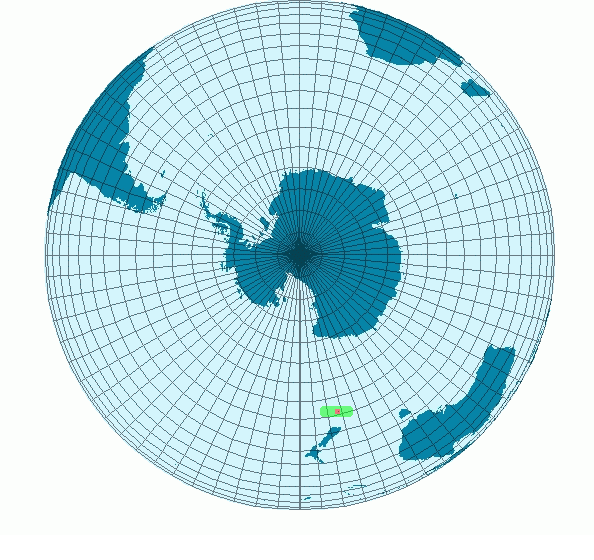
Description: Carte représentant les zone de reproduction et d'habitation du manchot Gorfou des Snares. En vert, les zones où le Gorfou des Snares vie.
En rouge, les zones de reproduction.
Créer Par BRUCHET Sébastien et sous license GFDL.
(Utilisation de File:MapS.png pour la création)
Author: The original uploader was Sbruchet at French Wikipedia.
Usage Terms: Creative Commons Attribution-Share Alike 3.0
License: CC-BY-SA-3.0
License Link: http://creativecommons.org/licenses/by-sa/3.0/
Attribution Required?: Yes
Image usage
The following page links to this image:

All content from Kiddle encyclopedia articles (including the article images and facts) can be freely used under Attribution-ShareAlike license, unless stated otherwise.

