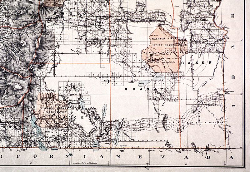
Image: Malheur Reservation map

Size of this preview: 800 × 551 pixels. Other resolutions: 320 × 221 pixels | 1,728 × 1,191 pixels.
Original image (1,728 × 1,191 pixels, file size: 646 KB, MIME type: image/jpeg)
Description: Map of the Malheur Reservation in eastern Oregon, U.S., an Indian reservation used for seven years in the 1870s until its inhabitants were moved elsewhere
Title: Malheur Reservation map
Credit: http://www.ohs.org/education/oregonhistory/historical_records/dspDocument.cfm?doc_ID=63029619-9698-B33E-18180586E8AA762E
Author: C. Roesser, General Land Office, Department of the Interior
Usage Terms: Public domain
License: Public domain
Attribution Required?: No
Image usage
The following page links to this image:

All content from Kiddle encyclopedia articles (including the article images and facts) can be freely used under Attribution-ShareAlike license, unless stated otherwise.
