
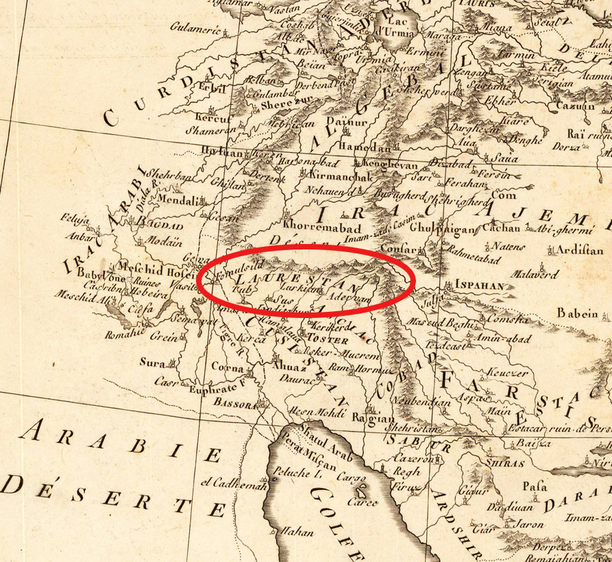
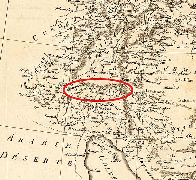
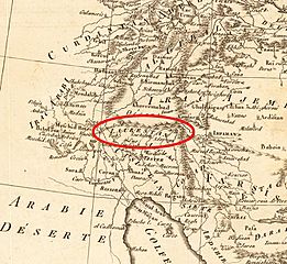
Image: Luristan(Laurestan) in 1780-90
Size of this preview: 653 × 600 pixels. Other resolutions: 261 × 240 pixels | 893 × 820 pixels.
Original image (893 × 820 pixels, file size: 434 KB, MIME type: image/jpeg)
Description: Luristan(Laurestan) in 1780-90
Title: Luristan(Laurestan) in 1780-90
Credit: Copper engraving, uncolored as published. This antique map shows us Persia. Inside the map are many place names, rivers, mountains, etc. In the right upper corner is the title cartouche with a mileage scale.
Author: Bonne, M.
Usage Terms: Public domain
License: Public domain
Attribution Required?: No
Image usage
The following page links to this image:

All content from Kiddle encyclopedia articles (including the article images and facts) can be freely used under Attribution-ShareAlike license, unless stated otherwise.
_in_1780-90.jpg)