
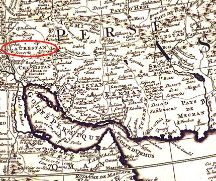
Image: Luristan(Laurestan) in 1706-08
No higher resolution available.
Luristan(Laurestan)_in_1706-08.jpg (430 × 361 pixels, file size: 139 KB, MIME type: image/jpeg)
Description: Luristan(Laurestan) in 1706-08
Title: Luristan(Laurestan) in 1706-08
Credit: Original copper-engraving, uncoloured as published. Small and interesting map showing Arabia with its neighboring countries. The famous Dutch publisher and mapmaker Pieter Van der Aa (1659 Leiden - 1733 Leiden) published 'during the period 1882-1733, an enormous quantity of printed matter' (Koeman). This map was actually published in the first edition of his travelbooks 'Naauwkeurige versameling der gedenk-waardigste zee en landreysen na Oost en West-Indien', in Leiden 1706-08.
Author: Van der Aa, Pieter
Usage Terms: Public domain
License: Public domain
Attribution Required?: No
Image usage
The following 2 pages link to this image:

All content from Kiddle encyclopedia articles (including the article images and facts) can be freely used under Attribution-ShareAlike license, unless stated otherwise.
_in_1706-08.jpg)