
Image: Lundy outline map

Size of this preview: 504 × 600 pixels. Other resolutions: 202 × 240 pixels | 600 × 714 pixels.
Original image (600 × 714 pixels, file size: 425 KB, MIME type: image/png)
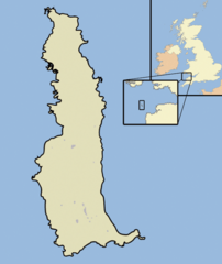
Description: A map of the Island of Lundy, in the English Channel, part of the United Kingdom
Title: Lundy outline map
Credit: self-made, using Adobe Illustrator and Photoshop
Author: Jhamez84
Usage Terms: Public domain
License: Public domain
Attribution Required?: No
Image usage
The following page links to this image:

All content from Kiddle encyclopedia articles (including the article images and facts) can be freely used under Attribution-ShareAlike license, unless stated otherwise.