
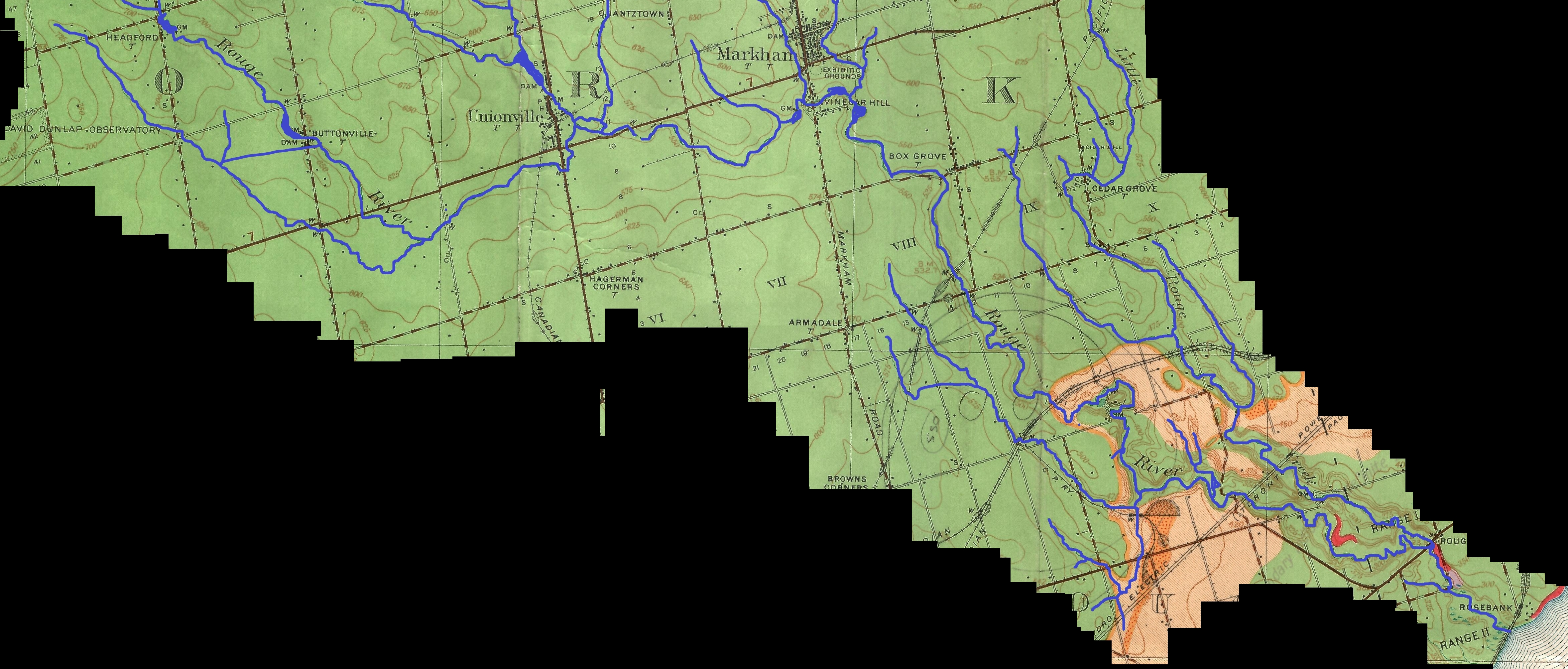
Image: Lower course of the Rouge River, circa 1932
Size of this preview: 800 × 341 pixels. Other resolutions: 320 × 136 pixels | 4,717 × 2,012 pixels.
Original image (4,717 × 2,012 pixels, file size: 4.02 MB, MIME type: image/jpeg)
Description: The Rouge River's headwaters (not shown here) are in the Oak Ridges Moraine, its mouth on Lake Ontario is at the border between Toronto, Ontario and Pickering, Ontario
Title: Lower course of the Rouge River, circa 1932
Credit: This file was derived from: The Pleistocene of the Toronto region.jpg:
Author: The_Pleistocene_of_the_Toronto_region.jpg: Coleman, A. P.; Province of Ontario: Department of Mines derivative work: Geo Swan
Usage Terms: Public domain
License: Public domain
Attribution Required?: No
Image usage
The following page links to this image:

All content from Kiddle encyclopedia articles (including the article images and facts) can be freely used under Attribution-ShareAlike license, unless stated otherwise.