
Image: Lower Tunley Farm - geograph.org.uk - 365259
No higher resolution available.
Lower_Tunley_Farm_-_geograph.org.uk_-_365259.jpg (640 × 480 pixels, file size: 55 KB, MIME type: image/jpeg)
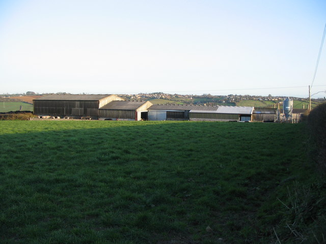
Description: Lower Tunley Farm A view looking to the southeast from the kissing gate on the public footpath off Stoneage Lane, towards the buildings oF Lower Tunley Farm. Peasedown St. John can be seen on the horizon.
Title: Lower Tunley Farm - geograph.org.uk - 365259
Credit: From geograph.org.uk
Author: Phil Williams
Usage Terms: Creative Commons Attribution-Share Alike 2.0
License: CC BY-SA 2.0
License Link: https://creativecommons.org/licenses/by-sa/2.0
Attribution Required?: Yes
Image usage
The following page links to this image:

All content from Kiddle encyclopedia articles (including the article images and facts) can be freely used under Attribution-ShareAlike license, unless stated otherwise.