
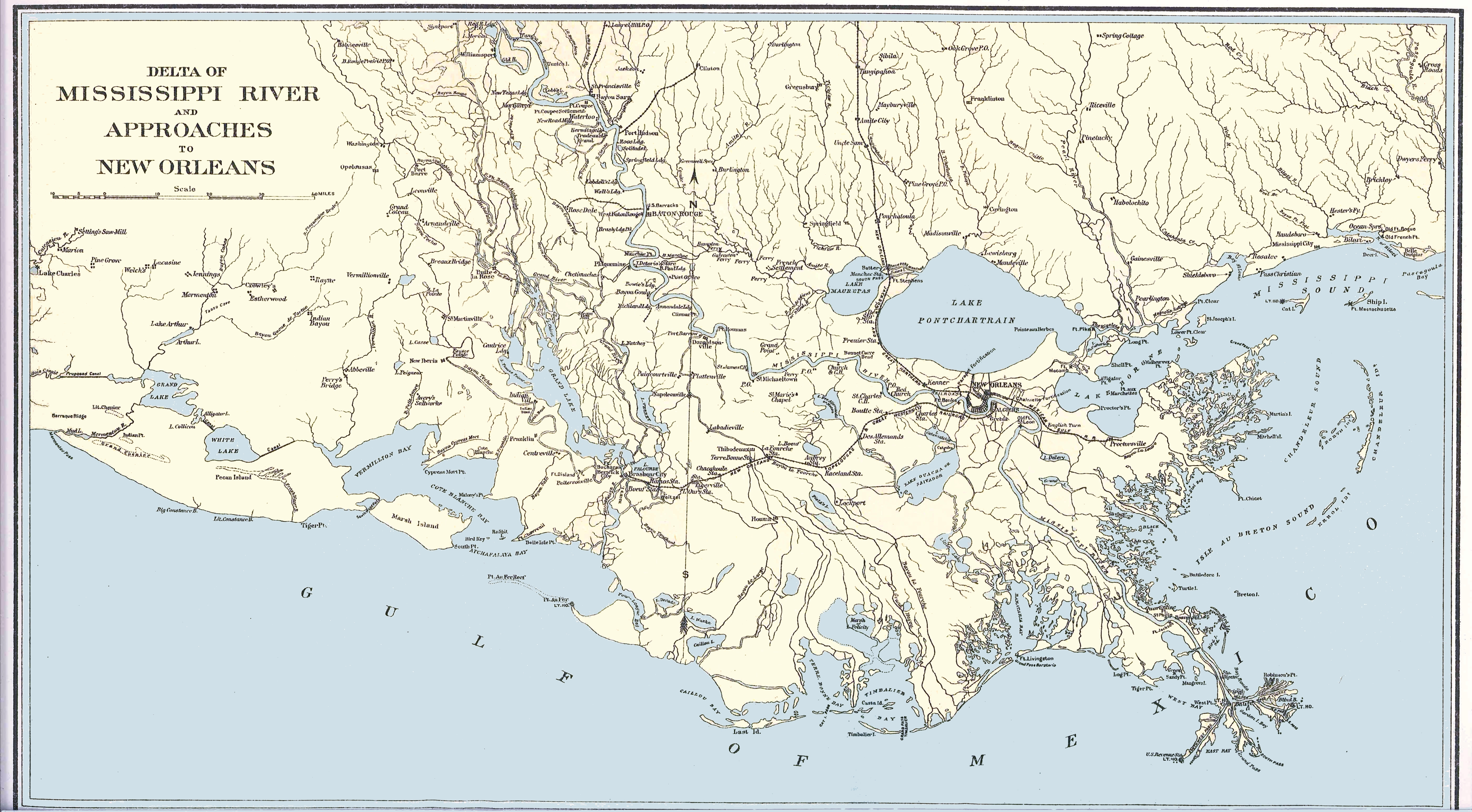
Image: Lower Mississippi River Map
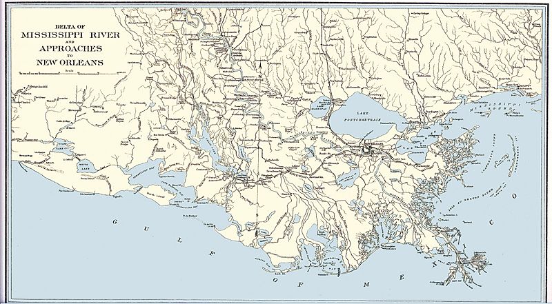
Size of this preview: 800 × 441 pixels. Other resolutions: 320 × 177 pixels | 5,600 × 3,090 pixels.
Original image (5,600 × 3,090 pixels, file size: 5.81 MB, MIME type: image/jpeg)
Description: Map depicting the delta of the Mississippi River and approaches to New Orleans printed by the Government printing office in 1904 as part of the Official Records of the Union and Confederate Navies.
Title: Lower Mississippi River Map
Credit: Frank (talk) 18:13, 29 March 2010 (UTC)
Author: Government Printing Office: Washington
Permission: Work of the US Federal Government
Usage Terms: Public domain
License: Public domain
Attribution Required?: No
Image usage

All content from Kiddle encyclopedia articles (including the article images and facts) can be freely used under Attribution-ShareAlike license, unless stated otherwise.