
Image: LoudonvilleCDP1990
No higher resolution available.
LoudonvilleCDP1990.gif (575 × 425 pixels, file size: 35 KB, MIME type: image/gif)
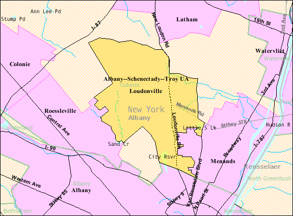
Description: Map of the boundaries of the Loudonville, New York census designated place in 1990
Title: LoudonvilleCDP1990
Credit: http://factfinder.census.gov/servlet/MapItDrawServlet?geo_id=16000US362038&tree_id=100&context=dt&_lang=en&_ts=285551180421
Author: US Federal Government, Bureau of Census
Usage Terms: Public domain
License: Public domain
Attribution Required?: No
Image usage
The following page links to this image:

All content from Kiddle encyclopedia articles (including the article images and facts) can be freely used under Attribution-ShareAlike license, unless stated otherwise.